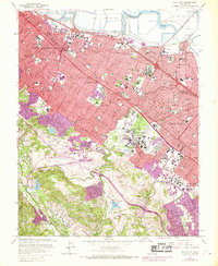
1961 Map of Palo Alto
USGS Topo · Published 1969About this map
The Southern Pacific rail line and the Bayshore Freeway define the industrial and residential spine of the San Francisco Peninsula during this mid-century period of rapid expansion. Massive Salt Evaporators dominate the shoreline near Ravenswood Slough, contrasting with the manicured grounds of Stanford University and the Stanford Golf Course to the southwest. The emergence of the high-tech era is physically marked by the massive Linear Accelerator stretching across the landscape near Jasper Ridge. From the administrative centers of Redwood City with its Courthouse and City Hall to the quiet wooded residential reaches of Portola Valley and Woodside, the map captures a suburban landscape in transition. Significant institutional footprints are visible at the Veterans Hospital and St Patricks Seminary, while numerous local schools like Taft Sch and Jordan Jr High Sch serve the growing postwar neighborhoods.
Find a feature on this map
57 named features on this map. Tap any name to fly to it.
Don’t see what you’re looking for? This feature index may not catch every label — zoom into the map to look around manually.
Map Details
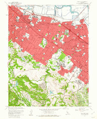
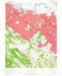
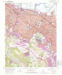
Editions of this 1961 Palo Alto Map
4 editions found
Other maps of this area

1892 · San Mateo
USGS Topo · 1:62,500

1896 · San Mateo
USGS Topo · 1:62,500

1897 · Palo Alto
USGS Topo · 1:62,500

1899 · Palo Alto
USGS Topo · 1:62,500

1899 · Haywards
USGS Topo · 1:62,500

1899 · San Mateo
USGS Topo · 1:62,500

1902 · Santa Cruz
USGS Topo · 1:125,000

1915 · San Mateo
USGS Topo · 1:62,500

1915 · Haywards
USGS Topo · 1:62,500

1939 · San Mateo
USGS Topo · 1:62,500