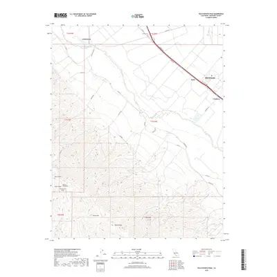
2018 Map of Palo Escrito Peak
USGS Topo · Published 2018About this map
The Salinas River valley floor transitions sharply into the high elevations of the Sierra de Salinas in this 2018 survey of Monterey County. On the valley floor, the agricultural hubs of Gonzales and Soledad anchor the landscape, connected by a network of rural roads such as Tavernetti Rd and Lanini Rd. Small settlements like Molus and Camphora appear along the transportation corridor, while the Gonzales Cem serves the local community.
Find a feature on this map
35 named features on this map. Tap any name to fly to it.
Don’t see what you’re looking for? This feature index may not catch every label — zoom into the map to look around manually.
Map Details
Editions of this 2018 Palo Escrito Peak Map
This is the sole edition of this map. No revisions or reprints were ever made.
Other maps of this area

1910 · Gonzales
USGS Topo · 1:31,680

1910 · Salinas
USGS Topo · 1:31,680

1910 · Soledad
USGS Topo · 1:31,680

1912 · Salinas
USGS Topo · 1:62,500

1915 · Soledad
USGS Topo · 1:62,500

1920 · Jamesburg
USGS Topo · 1:48,000

1921 · Jamesburg
USGS Topo · 1:62,500

1921 · Gonzales
USGS Topo · 1:62,500

1939 · Jamesburg
USGS Topo · 1:62,500

1940 · Salinas
USGS Topo · 1:62,500