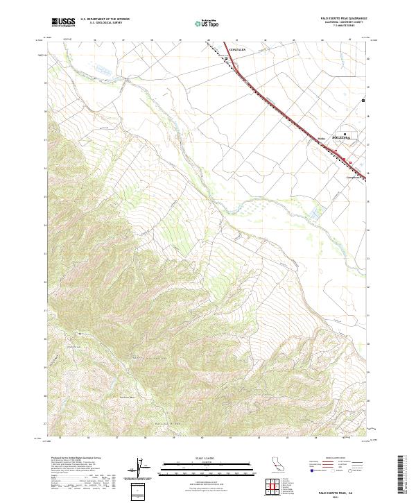
2021 Map of Palo Escrito Peak
USGS Topo · Published 2021About this map
The Salinas River valley corridor forms the heart of this landscape, where the fertile floor transitions abruptly into the high elevations of the Sierra de Salinas. The settlement pattern follows the valley floor, anchored by the towns of Gonzales and Soledad. This 2021 study documents the agricultural and transport infrastructure of the region, including the Gonzales Cem and the rail-aligned settlements at Molus and Camphora. The western half of the map is dominated by the steep ascent toward Palo Escrito Peak and Paloma Mtn, where deep drainages like Paloma Cr and Robert Son Cr carve through Paloma Ridge. This sharp contrast between the industrial-scale agriculture of the river plain and the undeveloped ridges illustrates the physical geography that has dictated Monterey County's development for over a century.
Find a feature on this map
35 named features on this map. Tap any name to fly to it.
Don’t see what you’re looking for? This feature index may not catch every label — zoom into the map to look around manually.
Map Details
Editions of this 2021 Palo Escrito Peak Map
This is the sole edition of this map. No revisions or reprints were ever made.
Other maps of this area

1910 · Gonzales
USGS Topo · 1:31,680

1910 · Salinas
USGS Topo · 1:31,680

1910 · Soledad
USGS Topo · 1:31,680

1912 · Salinas
USGS Topo · 1:62,500

1915 · Soledad
USGS Topo · 1:62,500

1920 · Jamesburg
USGS Topo · 1:48,000

1921 · Jamesburg
USGS Topo · 1:62,500

1921 · Gonzales
USGS Topo · 1:62,500

1939 · Jamesburg
USGS Topo · 1:62,500

1940 · Salinas
USGS Topo · 1:62,500