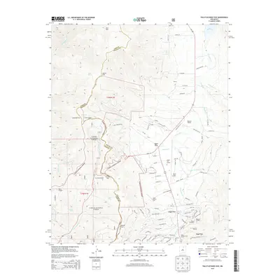
2013 Map of Palo Flechado Pass
USGS Topo · Published 2013About this map
Palo Flechado Pass serves as a critical geographic transition point on this 2013 survey, where the boundaries of Taos and Colfax Counties converge within the Carson National Forest. This high-altitude landscape is defined by the Moreno Valley and the headwaters of several significant waterways, including the Rio Fernando de Taos and the Rio Pueblo de Taos. The map documents the modern recreational and residential footprint of the area, centered on the village of Angel Fire.
Find a feature on this map
96 named features on this map. Tap any name to fly to it.
Don’t see what you’re looking for? This feature index may not catch every label — zoom into the map to look around manually.
Map Details
Editions of this 2013 Palo Flechado Pass Map
This is the sole edition of this map. No revisions or reprints were ever made.
Other maps of this area

1954 · Raton
USGS Topo · 1:250,000

1955 · Ute Park
USGS Topo · 1:62,500

1956 · Tooth Of Time
USGS Topo · 1:62,500

1958 · Raton
USGS Topo · 1:250,000

1963 · Wheeler Peak
USGS Topo · 1:24,000

1963 · Eagle Nest
USGS Topo · 1:24,000

1965 · Osha Mountain
USGS Topo · 1:24,000

1965 · Palo Flechado Pass
USGS Topo · 1:24,000

1965 · Pueblo Peak
USGS Topo · 1:24,000

1965 · Shady Brook
USGS Topo · 1:24,000