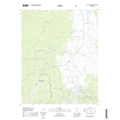
2020 Map of Palo Flechado Pass
USGS Topo · Published 2020About this map
Palo Flechado Pass serves as a critical geographic transition point between the high mountains of the Carson National Forest and the open valleys of the Moreno Valley. The terrain is defined by dramatic elevation changes, moving from the heights of Apache Peak and the alpine meadows of Witt Park down into the developing settlement of Angel Fire. This modern survey illustrates the complex road network supporting the resort community and the Angel Fire Airport, contrasting with the more primitive tracks through La Jara Canyon.
Find a feature on this map
102 named features on this map. Tap any name to fly to it.
Don’t see what you’re looking for? This feature index may not catch every label — zoom into the map to look around manually.
Map Details
Editions of this 2020 Palo Flechado Pass Map
This is the sole edition of this map. No revisions or reprints were ever made.
Other maps of this area

1954 · Raton
USGS Topo · 1:250,000

1955 · Ute Park
USGS Topo · 1:62,500

1956 · Tooth Of Time
USGS Topo · 1:62,500

1958 · Raton
USGS Topo · 1:250,000

1963 · Wheeler Peak
USGS Topo · 1:24,000

1963 · Eagle Nest
USGS Topo · 1:24,000

1965 · Osha Mountain
USGS Topo · 1:24,000

1965 · Palo Flechado Pass
USGS Topo · 1:24,000

1965 · Pueblo Peak
USGS Topo · 1:24,000

1965 · Shady Brook
USGS Topo · 1:24,000