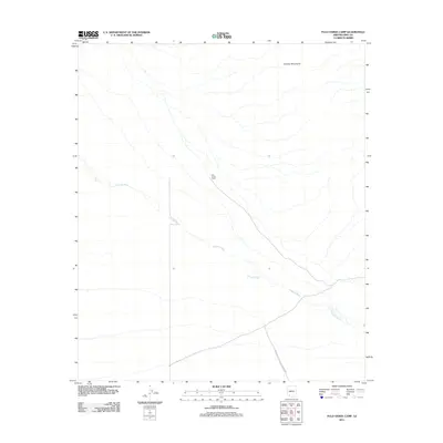
2011 Map of Palo Verde Camp
USGS Topo · Published 2011About this map
Organ Pipe Cactus Natl Monument encompasses a significant portion of this landscape in southern Pima County, where the desert floor is defined by a network of drainage channels. The most prominent of these is Growler Wash, which winds across the basin floor from the northwest to the southeast. To the northeast, the topography rises into the Growler Mountains, a desert range that sheds water into the intricate braids of the wash system below. The small settlement of Palo Verde Camp sits near the center of the sheet, representing a human foothold in a region primarily managed for conservation and the preservation of the desert ecosystem. The map documents the relationship between the arid mountain slopes and the wide, alluvial plains that characterize this part of the Sonoran Desert.
Find a feature on this map
4 named features on this map. Tap any name to fly to it.
Don’t see what you’re looking for? This feature index may not catch every label — zoom into the map to look around manually.
Map Details
Editions of this 2011 Palo Verde Camp Map
This is the sole edition of this map. No revisions or reprints were ever made.
Other maps of this area

1932 · Ajo
USGS Topo · 1:62,500

1934 · Ajo
USGS Topo · 1:62,500

1953 · Ajo
USGS Topo · 1:250,000

1957 · Ajo
USGS Topo · 1:250,000

1958 · Ajo
USGS Topo · 1:250,000

1962 · Ajo
USGS Topo · 1:250,000

1963 · Ajo
USGS Topo · 1:250,000

1963 · Ajo
USGS Topo · 1:62,500

1963 · Kino Peak
USGS Topo · 1:62,500

1964 · Growler Peak
USGS Topo · 1:62,500