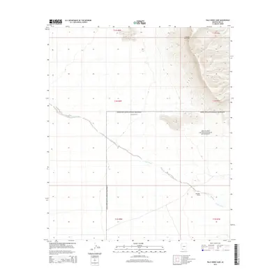
2014 Map of Palo Verde Camp
USGS Topo · Published 2014About this map
Organ Pipe Cactus National Monument encompasses a significant portion of this Pima County landscape, where the arid desert environment is defined by dramatic elevation changes. The Growler Mountains dominate the eastern edge of the quadrangle, their steep slopes descending into the broad expanse of Growler Valley. Across this alluvial plain, the intermittent drainage of Growler Wash meanders from northwest to southeast, illustrating the hydrological patterns of the Sonoran Desert. Centrally located within the monument boundary is Palo Verde Camp, a point of human presence in a territory largely defined by its natural topography. This 2014 survey by the U.S. Geological Survey captures the desert floor and its surrounding peaks before further environmental or administrative changes, documenting a section of the international border region where conservation and natural history intersect.
Find a feature on this map
11 named features on this map. Tap any name to fly to it.
Don’t see what you’re looking for? This feature index may not catch every label — zoom into the map to look around manually.
Map Details
Editions of this 2014 Palo Verde Camp Map
This is the sole edition of this map. No revisions or reprints were ever made.
Other maps of this area

1932 · Ajo
USGS Topo · 1:62,500

1934 · Ajo
USGS Topo · 1:62,500

1953 · Ajo
USGS Topo · 1:250,000

1957 · Ajo
USGS Topo · 1:250,000

1958 · Ajo
USGS Topo · 1:250,000

1962 · Ajo
USGS Topo · 1:250,000

1963 · Ajo
USGS Topo · 1:250,000

1963 · Ajo
USGS Topo · 1:62,500

1963 · Kino Peak
USGS Topo · 1:62,500

1964 · Growler Peak
USGS Topo · 1:62,500