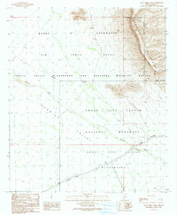
1990 Map of Palo Verde Camp
USGS Topo · Published 1990About this map
Growler Valley serves as a stark meeting point for three major federal jurisdictions in the Arizona desert, as documented in this 1990 provisional edition. The landscape is defined by the intersection of the Barry M Goldwater Air Force Range, the Cabeza Prieta Wilderness and National Wildlife Refuge, and the Organ Pipe Cactus National Monument. This convergence of military and conservation lands reflects the mid-20th-century transition of the borderlands into highly managed zones.
Find a feature on this map
13 named features on this map. Tap any name to fly to it.
Don’t see what you’re looking for? This feature index may not catch every label — zoom into the map to look around manually.
Map Details
Editions of this 1990 Palo Verde Camp Map
This is the sole edition of this map. No revisions or reprints were ever made.
Other maps of this area

1932 · Ajo
USGS Topo · 1:62,500

1934 · Ajo
USGS Topo · 1:62,500

1953 · Ajo
USGS Topo · 1:250,000

1957 · Ajo
USGS Topo · 1:250,000

1958 · Ajo
USGS Topo · 1:250,000

1962 · Ajo
USGS Topo · 1:250,000

1963 · Ajo
USGS Topo · 1:250,000

1963 · Ajo
USGS Topo · 1:62,500

1963 · Kino Peak
USGS Topo · 1:62,500

1964 · Growler Peak
USGS Topo · 1:62,500