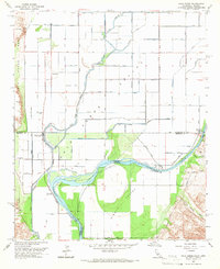
1965 Map of Palo Verde
USGS Topo · Published 1966About this map
The Colorado River dominates this mid-1960s survey, marking the border between California and Arizona within the fertile Palo Verde Valley. The settlement of Palo Verde serves as a local hub, surrounded by an extensive network of irrigation infrastructure including the Palo Verde Canal and various numbered canals like C-28 Canal. This complex water management system supports the valley's agriculture, while features like the Flume and Gaging Sta indicate the active engineering of the river's flow.
Find a feature on this map
55 named features on this map. Tap any name to fly to it.
Don’t see what you’re looking for? This feature index may not catch every label — zoom into the map to look around manually.
Map Details
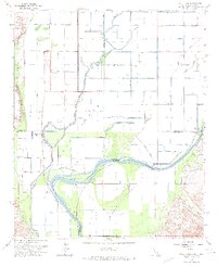
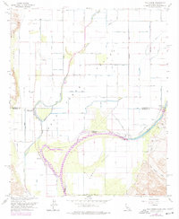
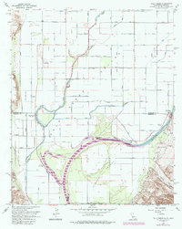
Editions of this 1965 Palo Verde Map
4 editions found
Other maps of this area

1942 · Blythe
USGS Topo · 1:250,000

1945 · Cibola
USGS Topo · 1:62,500

1951 · Blythe
USGS Topo · 1:24,000

1951 · Cibola
USGS Topo · 1:62,500

1952 · Mule Wash
USGS Topo · 1:24,000

1952 · Mc Coy Spring
USGS Topo · 1:62,500

1952 · Palo Verde
USGS Topo · 1:24,000

1952 · Ripley
USGS Topo · 1:24,000

1953 · Palo Verde Mountains
USGS Topo · 1:62,500

1954 · Salton Sea
USGS Topo · 1:250,000