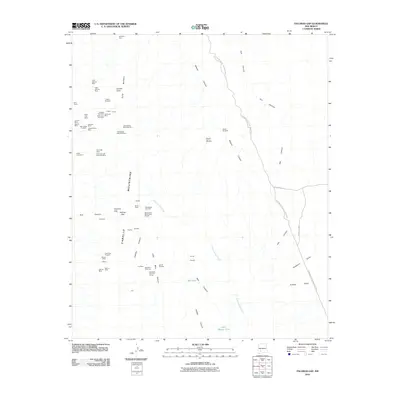
2010 Map of Palomas Gap
USGS Topo · Published 2010About this map
The Caballo Mountains define this landscape of high peaks and mineral-rich canyons, anchored by the geological prominent Palomas Gap. This 2010 survey details an extensive network of mining history, with operations ranging from the northern Sampson Mine to the southern Victoria Mine. The terrain is marked by notable heights such as Caballo Cone and Turtle Mountain, which tower over a series of drainage systems including Mescal Canyon and Ash Canyon. Evidence of early and modern resource extraction is everywhere, documented through named claims like the Yellowjacket Mine Number 1, Riverside Mine, and the Tingley Prospect. Along the eastern edge, the map touches upon Elephant Butte Lake State Park, while isolated ranching or prospecting outposts are noted by landmarks such as the Bootlegger Windmill and Parker Windmill.
Find a feature on this map
57 named features on this map. Tap any name to fly to it.
Don’t see what you’re looking for? This feature index may not catch every label — zoom into the map to look around manually.
Map Details
Editions of this 2010 Palomas Gap Map
This is the sole edition of this map. No revisions or reprints were ever made.
Other maps of this area

1954 · Tularosa
USGS Topo · 1:250,000

1955 · Las Cruces
USGS Topo · 1:250,000

1958 · Las Cruces
USGS Topo · 1:250,000

1958 · Tularosa
USGS Topo · 1:250,000

1958 · Elephant Butte
USGS Topo · 1:24,000

1959 · Engle
USGS Topo · 1:62,500

1959 · Upham
USGS Topo · 1:62,500

1961 · Caballo
USGS Topo · 1:24,000

1961 · Williamsburg
USGS Topo · 1:24,000

1961 · Cuchillo
USGS Topo · 1:24,000