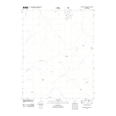
2011 Map of Palomino Mountain
USGS Topo · Published 2011About this map
Palomino Mountain and the surrounding high country of Mineral County define this high-altitude landscape. The area is a complex network of drainage basins, where the Middle Fork Piedra River and East Fork Piedra River originate from the runoff of prominent peaks like Piedra Peak and Sugarloaf Mountain. This 2011 survey captures the hydrological importance of the region, documenting alpine water bodies such as Monument Lake and Window Lake amidst steep vertical relief. Human presence is limited to narrow corridors such as Usfs-RD 523, while natural features like Porphyry Gulch and Dark Canyon illustrate the deep erosion patterns characteristic of the San Juan range. The mapping of Piedra Pass and Puerto Blanco highlights critical transit points through the Continental Divide terrain.
Find a feature on this map
29 named features on this map. Tap any name to fly to it.
Don’t see what you’re looking for? This feature index may not catch every label — zoom into the map to look around manually.
Map Details
Editions of this 2011 Palomino Mountain Map
This is the sole edition of this map. No revisions or reprints were ever made.
Other maps of this area

1905 · San Cristobal
USGS Topo · 1:125,000

1907 · San Cristobal
USGS Topo · 1:125,000

1913 · Summitville
USGS Topo · 1:125,000

1914 · Creede
USGS Topo · 1:125,000

1915 · Summitville
USGS Topo · 1:125,000

1916 · Creede
USGS Topo · 1:125,000

1924 · Pagosa Springs
USGS Topo · 1:125,000

1927 · Pagosa Springs
USGS Topo · 1:125,000

1945 · Durango
USGS Topo · 1:250,000

1953 · Durango
USGS Topo · 1:250,000