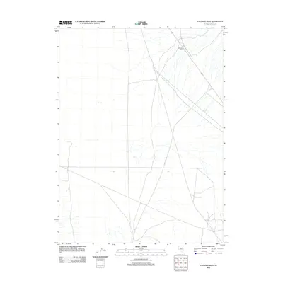
2012 Map of Palomino Well
USGS Topo · Published 2012About this map
Palomino Well and the surrounding high desert of eastern Elko County define this remote landscape in the early 2010s. The area is characterized by sparse water sources and essential transit corridors, most notably the winding course of Rogers Cr and the strategic elevation of Goshute Pass. Human activity is primarily traced through the infrastructure managed by the Bureau of Land Management, including the Bureau of Land Mgmt Road 1528 and the north-south artery of Butte Valley Rd. These routes emphasize the area's importance for range management and public land access in a region where reliable water points like the namesake Palomino Well remain critical landmarks for navigation and land use.
Find a feature on this map
5 named features on this map. Tap any name to fly to it.
Don’t see what you’re looking for? This feature index may not catch every label — zoom into the map to look around manually.
Map Details
Editions of this 2012 Palomino Well Map
This is the sole edition of this map. No revisions or reprints were ever made.
Other maps of this area

1935 · Halleck
USGS Topo · 1:125,000

1953 · Spruce Mountain
USGS Topo · 1:62,500

1955 · Elko
USGS Topo · 1:250,000

1958 · Elko
USGS Topo · 1:250,000

1962 · Elko
USGS Topo · 1:250,000

1965 · Elko
USGS Topo · 1:250,000

1984 · Currie Gardens
USGS Topo · 1:24,000

1984 · Silo Canyon
USGS Topo · 1:24,000

1984 · Valley Mtn
USGS Topo · 1:24,000

1984 · Delcer Buttes
USGS Topo · 1:24,000