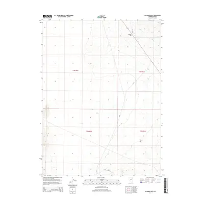
2014 Map of Palomino Well
USGS Topo · Published 2014About this map
Palomino Well sits at the heart of this high-desert Elko County landscape, where the terrain is defined by the transition from open basins to the rising elevations of Goshute Pass. The map captures a network of rural routes and primitive roads, including Cottonwood Canyon Rd and Cr-783, which provide access to this isolated corner of the state. These tracks follow the natural contours of the land, tracing the path toward seasonal water sources like Rogers Cr. The 2014 survey documents the enduring physical character of the Great Basin, where land use is marked by extensive public holdings and ranching heritage, as evidenced by the presence of Blm-1526. This topography highlights the sparse settlement patterns and the essential reliance on established wells and mountain passes for navigation across the eastern Nevada wilderness.
Find a feature on this map
11 named features on this map. Tap any name to fly to it.
Don’t see what you’re looking for? This feature index may not catch every label — zoom into the map to look around manually.
Map Details
Editions of this 2014 Palomino Well Map
This is the sole edition of this map. No revisions or reprints were ever made.
Other maps of this area

1935 · Halleck
USGS Topo · 1:125,000

1953 · Spruce Mountain
USGS Topo · 1:62,500

1955 · Elko
USGS Topo · 1:250,000

1958 · Elko
USGS Topo · 1:250,000

1962 · Elko
USGS Topo · 1:250,000

1965 · Elko
USGS Topo · 1:250,000

1984 · Currie Gardens
USGS Topo · 1:24,000

1984 · Silo Canyon
USGS Topo · 1:24,000

1984 · Valley Mtn
USGS Topo · 1:24,000

1984 · Delcer Buttes
USGS Topo · 1:24,000