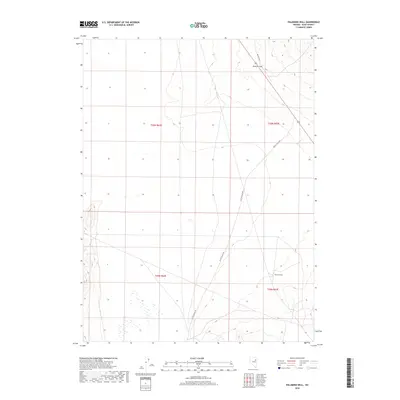
2018 Map of Palomino Well
USGS Topo · Published 2018About this map
Palomino Well sits at the base of the high desert terrain in Elko County, marking a vital water point in this arid landscape. The area is defined by its isolation and the network of primitive roads like Butte Valley Rd and Blm Rd 1526 that connect the high basin floors with mountain crossings. North of the well, the passage at Goshute Pass provides a break in the ridgeline, while Rogers Cr flows through the eastern portion of the quadrangle. This 2018 survey illustrates the persistent importance of named wells and passes for navigation and livestock management in the Great Basin, where the sparse settlement pattern relies heavily on these specific topographic landmarks for orientation across the expansive valley floors.
Find a feature on this map
9 named features on this map. Tap any name to fly to it.
Don’t see what you’re looking for? This feature index may not catch every label — zoom into the map to look around manually.
Map Details
Editions of this 2018 Palomino Well Map
This is the sole edition of this map. No revisions or reprints were ever made.
Other maps of this area

1935 · Halleck
USGS Topo · 1:125,000

1953 · Spruce Mountain
USGS Topo · 1:62,500

1955 · Elko
USGS Topo · 1:250,000

1958 · Elko
USGS Topo · 1:250,000

1962 · Elko
USGS Topo · 1:250,000

1965 · Elko
USGS Topo · 1:250,000

1984 · Currie Gardens
USGS Topo · 1:24,000

1984 · Silo Canyon
USGS Topo · 1:24,000

1984 · Valley Mtn
USGS Topo · 1:24,000

1984 · Delcer Buttes
USGS Topo · 1:24,000