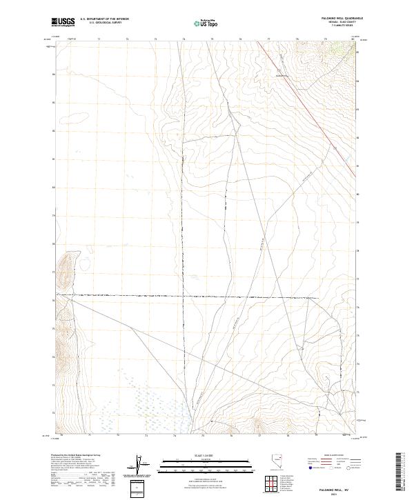
2021 Map of Palomino Well
USGS Topo · Published 2021About this map
Goshute Pass serves as a prominent geographic gateway in the high-desert landscape of Elko County, marking a transit point across the terrain. This 2021 survey of the Palomino Well quadrangle illustrates the sparse but critical infrastructure of the Great Basin, dominated by the long stretch of Butte Valley Rd and BLm Rd 1526. The map details a transition from the elevated pass down toward the valley floor, where seasonal drainage is represented by Rogers Cr. The grid of the Public Land Survey System, including t30n r63e and t29n r62e, provides a framework for understanding land management and historical grazing or mining allotments in this arid region. The lack of concentrated settlements highlights the area's primary character as open range and backcountry transit corridor.
Find a feature on this map
8 named features on this map. Tap any name to fly to it.
Don’t see what you’re looking for? This feature index may not catch every label — zoom into the map to look around manually.
Map Details
Editions of this 2021 Palomino Well Map
This is the sole edition of this map. No revisions or reprints were ever made.
Other maps of this area

1935 · Halleck
USGS Topo · 1:125,000

1953 · Spruce Mountain
USGS Topo · 1:62,500

1955 · Elko
USGS Topo · 1:250,000

1958 · Elko
USGS Topo · 1:250,000

1962 · Elko
USGS Topo · 1:250,000

1965 · Elko
USGS Topo · 1:250,000

1984 · Currie Gardens
USGS Topo · 1:24,000

1984 · Silo Canyon
USGS Topo · 1:24,000

1984 · Valley Mtn
USGS Topo · 1:24,000

1984 · Delcer Buttes
USGS Topo · 1:24,000