2021 Map of Panaca
USGS Topo · Published 2021About this map
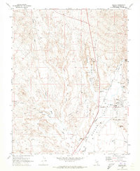
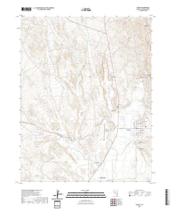
Panaca stands as a focal point in this high-desert landscape, situated where the Meadow Valley Wash and several ephemeral drainage systems like Caselton Wash and Bennett Springs Wash converge. The layout of the town follows a traditional grid with streets such as Hansen St and Ernst St, while the nearby Panaca Spring suggests the vital water sources that supported early settlement in this arid corner of Nevada. To the west, the striking landforms of Cathedral Gorge and Smileys Point dominate the topography, illustrating the erosive power of these desert washes over time.
Find a feature on this map
40 named features on this map. Tap any name to fly to it.
Don’t see what you’re looking for? This feature index may not catch every label — zoom into the map to look around manually.
Map Details
Editions of this 2021 Panaca Map
This is the sole edition of this map. No revisions or reprints were ever made.