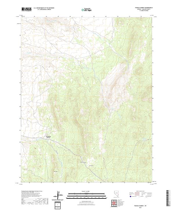
2021 Map of Panaca Summit
USGS Topo · Published 2021About this map
Panaca Summit serves as the central landmark for this high-elevation landscape in eastern Nevada, where the drainage patterns of Gleason Canyon Wash and Kiln Wash define the complex topography. The map illustrates a reliance on critical water points in an arid environment, specifically Kiln Spring, Marchell Spring, and Dow Spring. Local transit is anchored by the presence of Crestline Rd, which winds through the southern terrain near Ninemile Rocks. This area, situated between the High Plateau and Great Basin desert, shows a topography carved by features like Lien Draw and the prominent Dow Mtn. The survey highlights the spatial relationship between isolated water sources and the natural corridors used for movement through the Lincoln County backcountry.
Find a feature on this map
15 named features on this map. Tap any name to fly to it.
Don’t see what you’re looking for? This feature index may not catch every label — zoom into the map to look around manually.
Map Details
Editions of this 2021 Panaca Summit Map
This is the sole edition of this map. No revisions or reprints were ever made.
Other maps of this area

1885 · Pioche
USGS Topo · 1:250,000

1886 · Pioche
USGS Topo · 1:250,000

1921 · NW 1/4 Panaca
USGS Topo · 1:48,000

1954 · Caliente
USGS Topo · 1:250,000

1959 · Caliente
USGS Topo · 1:250,000
1970 · Condor Canyon
USGS Topo · 1:24,000
1970 · Rose Valley
USGS Topo · 1:24,000
1972 · Panaca Summit
USGS Topo · 1:24,000
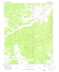
1972 · Uvada
USGS Topo · 1:24,000
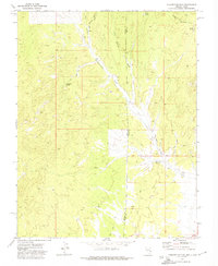
1972 · Prohibition Flat
USGS Topo · 1:24,000