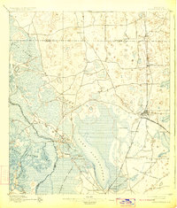
1895 Map of Panasoffkee
USGS Topo · Published 1923About this map
Lake Panasoffkee and the sprawling wetlands of Gum Swamp dominate this central Florida landscape during the late nineteenth century. Surveyed by H.L. Baldwin Jr. and others, the map reveals a region defined by its complex hydrology, where the Withlacoochee River and Tsala Apopka Lake form a labyrinthine network of water and marsh. The settlement pattern follows the early rail lines, notably the Florida Central and Peninsular RR, which connects hubs like Wildwood and Oxford. This era shows a transition from wilderness to established citrus and timber country, with smaller localities such as Rutland, Carlson, and Panasoffkee serving as vital nodes. In the southeast, the distinct landscape of Warm Spring Hammock and landmarks like Hogeye Sink highlight the unique geological features of the Sumter and Marion County borderlands.
Find a feature on this map
32 named features on this map. Tap any name to fly to it.
Don’t see what you’re looking for? This feature index may not catch every label — zoom into the map to look around manually.
Map Details
Editions of this 1895 Panasoffkee Map
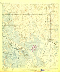
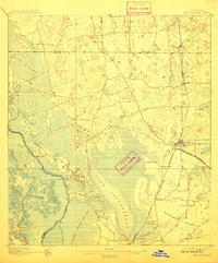
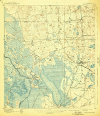
5 editions found
Other maps of this area

1892 · Dunnellon
USGS Topo · 1:62,500

1893 · Panasoffkee
USGS Topo · 1:62,500

1894 · Dunnellon
USGS Topo · 1:62,500

1895 · Tsala Apopka
USGS Topo · 1:62,500

1895 · Panasoffkee
USGS Topo · 1:62,500

1895 · Ocala
USGS Topo · 1:62,500

1954 · Nobleton
USGS Topo · 1:24,000

1954 · Tsala Apopka NE
USGS Topo · 1:24,000

1954 · Inverness
USGS Topo · 1:24,000

1954 · Dunnellon SE
USGS Topo · 1:24,000