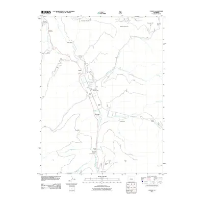
2011 Map of Pando
USGS Topo · Published 2011About this map
Pando and Mitchell serve as central points in this high-altitude landscape where the Eagle River meets its southern and eastern forks. The area is defined by its military and recreational heritage at the Camp Hale Recreation Area, set against a backdrop of prominent peaks including Hornsilver Mountain and Resolution Mountain. Water management is a visible priority here, evidenced by the presence of the Wurtz Ditch and Columbine Ditch cutting across the mountain slopes.
Find a feature on this map
45 named features on this map. Tap any name to fly to it.
Don’t see what you’re looking for? This feature index may not catch every label — zoom into the map to look around manually.
Map Details
Editions of this 2011 Pando Map
This is the sole edition of this map. No revisions or reprints were ever made.
Other maps of this area

1889 · Leadville
USGS Topo · 1:125,000

1891 · Leadville
USGS Topo · 1:125,000

1929 · Dillon
USGS Topo · 1:62,500

1934 · Climax
USGS Topo · 1:48,000

1934 · Minturn
USGS Topo · 1:62,500

1934 · Dillon
USGS Topo · 1:62,500

1938 · Mt. Lincoln
USGS Topo · 1:48,000

1942 · Leadville
USGS Topo · 1:125,000

1945 · Mount Lincoln
USGS Topo · 1:62,500

1949 · Holy Cross
USGS Topo · 1:62,500