
2023 Map of Panguitch Lake
USGS Topo · Published 2023About this map
Panguitch Lake dominates the northeast corner of this high-plateau region, situated at the boundary of Iron and Garfield counties. Much of the land is preserved within the Dixie National Forest, where a complex network of forest roads and trails, such as Clear Creek Canyon Rd and the Markagunt Plateau Trl, provide access to a landscape of high summits and secluded valleys. The area is defined by its water resources, with numerous tributaries including Ipson Creek and Mammoth Creek draining the mountain slopes.
Find a feature on this map
52 named features on this map. Tap any name to fly to it.
Don’t see what you’re looking for? This feature index may not catch every label — zoom into the map to look around manually.
Map Details
Editions of this 2023 Panguitch Lake Map
This is the sole edition of this map. No revisions or reprints were ever made.
Historical Maps of Panguitch Lake Resort Through Time
112 maps found

1949 Cedar City NW
Iron County, UT

1950 Antelope Peak
Iron County, UT

1950 Avon SE
Iron County, UT

1950 Cedar City NW
Iron County, UT

1950 Cedar Mountain
Iron County, UT

1950 Desert Mound
Iron County, UT

1950 Enoch NE
Iron County, UT

1950 Iron Mountain
Iron County, UT

1950 Page Ranch
Iron County, UT

1950 Silver Peak
Iron County, UT

1950 Stoddard Mtn
Iron County, UT

1950 The Three Peaks
Iron County, UT

1951 Avon
Iron County, UT

1951 Avon NW
Iron County, UT

1951 Avon SE
Iron County, UT

1951 Desert Mound
Iron County, UT

1951 Page Ranch
Iron County, UT

1951 Silver Peak
Iron County, UT

1951 Stoddard Mtn
Iron County, UT

1951 The Three Peaks
Iron County, UT

1952 Cedar Mountain
Iron County, UT

1952 Enoch NE
Iron County, UT

1952 Enoch NW
Iron County, UT

1958 Cedar Breaks
Iron County, UT

1958 Thermo
Iron County, UT

1971 Bible Spring
Iron County, UT

1971 Buckhorn Flat
Iron County, UT

1971 Burnt Peak
Iron County, UT

1971 Cottonwood Mtn
Iron County, UT

1971 Latimer
Iron County, UT

1971 Little Creek Peak
Iron County, UT

1971 Lund
Iron County, UT

1971 Parowan Gap
Iron County, UT

1971 Red Creek Reservoir
Iron County, UT

1971 Steamboat Mtn
Iron County, UT

1971 Steamboat Mtn SW
Iron County, UT

1972 Bannion Spring
Iron County, UT

1972 Beryl
Iron County, UT

1972 Clark Farm
Iron County, UT

1972 Eightmile Spring
Iron County, UT

1972 Heist
Iron County, UT

1972 Mountain Spring Peak
Iron County, UT

1972 Mount Escalante
Iron County, UT

1972 Pinon Point
Iron County, UT

1972 Yale Crossing
Iron County, UT

1972 Zane
Iron County, UT

1985 Flanigan Arch
Iron County, UT

1985 Henrie Knolls
Iron County, UT

1985 Navajo Lake
Iron County, UT

1985 Panguitch Lake
Iron County, UT

1985 Webster Flat
Iron County, UT

1986 Jack Henry Knoll
Iron County, UT

1989 Baboon Peak
Iron County, UT

1989 Badger Peak
Iron County, UT

1989 Dry Willow Peak
Iron County, UT

2002 Cottonwood Mountain
Iron County, UT

2002 Flanigan Arch
Iron County, UT

2002 Henrie Knolls
Iron County, UT

2002 Little Creek Peak
Iron County, UT

2002 Mount Escalante
Iron County, UT

2002 Navajo Lake
Iron County, UT

2002 Page Ranch
Iron County, UT

2002 Panguitch Lake
Iron County, UT

2002 Pinon Point
Iron County, UT

2002 Red Creek Reservoir
Iron County, UT

2002 Uvada
Iron County, UT

2002 Webster Flat
Iron County, UT

2023 Antelope Peak
Iron County, UT

2023 Avon
Iron County, UT

2023 Avon NW
Iron County, UT

2023 Avon SE
Iron County, UT

2023 Baboon Peak
Iron County, UT
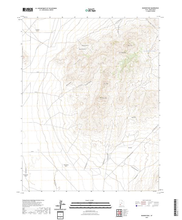
2023 Badger Peak
Iron County, UT

2023 Bannion Spring
Iron County, UT

2023 Beryl
Iron County, UT
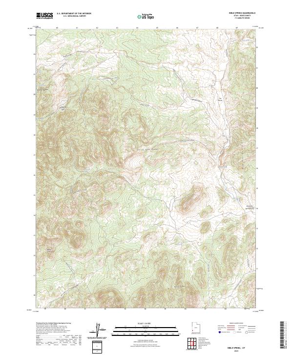
2023 Bible Spring
Iron County, UT
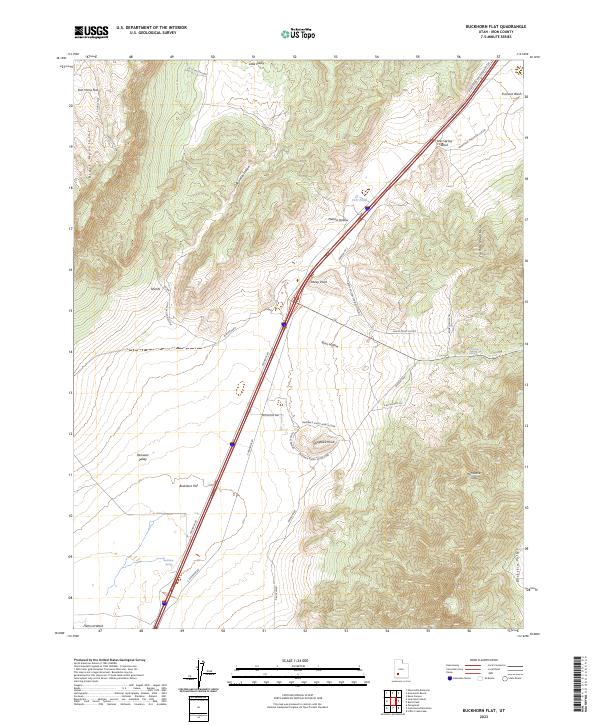
2023 Buckhorn Flat
Iron County, UT
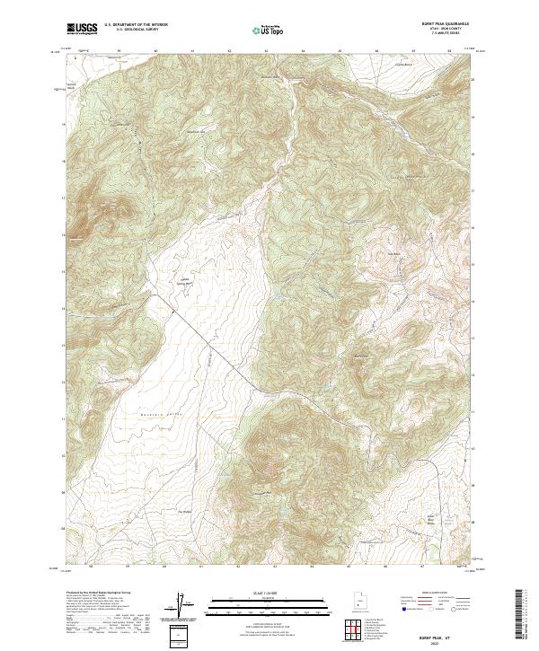
2023 Burnt Peak
Iron County, UT

2023 Cedar City NW
Iron County, UT

2023 Cedar Mountain
Iron County, UT

2023 Clark Farm
Iron County, UT

2023 Cottonwood Mountain
Iron County, UT

2023 Desert Mound
Iron County, UT
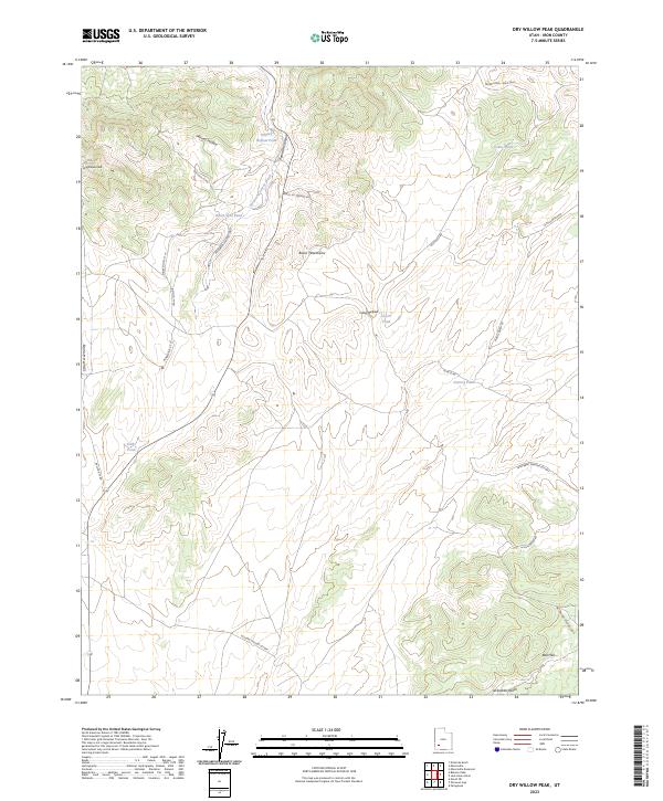
2023 Dry Willow Peak
Iron County, UT

2023 Eightmile Spring
Iron County, UT

2023 Enoch NE
Iron County, UT

2023 Enoch NW
Iron County, UT

2023 Flanigan Arch
Iron County, UT

2023 Heist
Iron County, UT

2023 Henrie Knolls
Iron County, UT
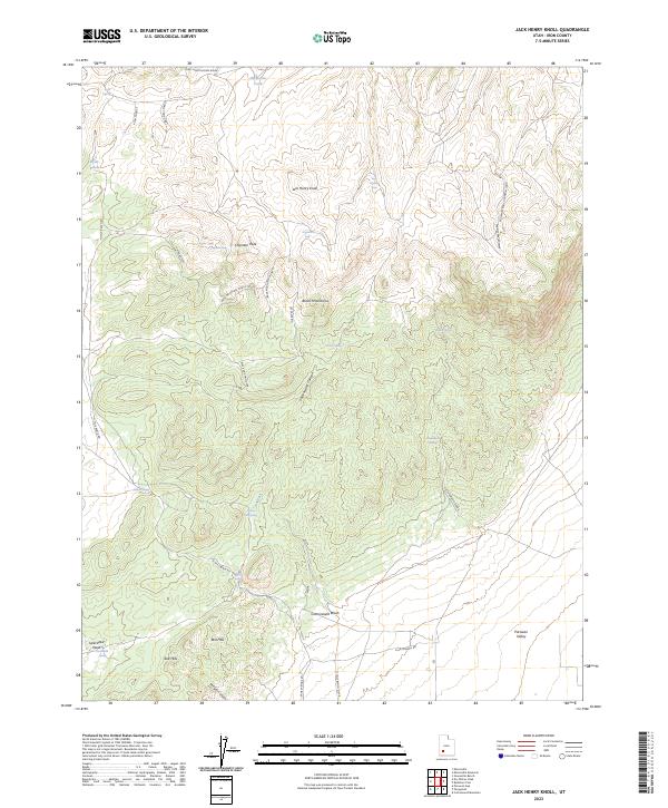
2023 Jack Henry Knoll
Iron County, UT
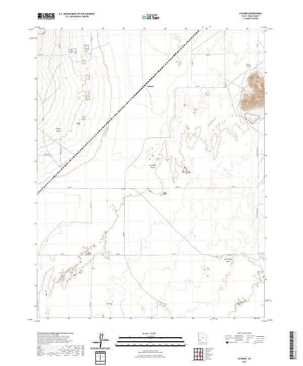
2023 Latimer
Iron County, UT

2023 Little Creek Peak
Iron County, UT
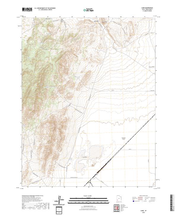
2023 Lund
Iron County, UT
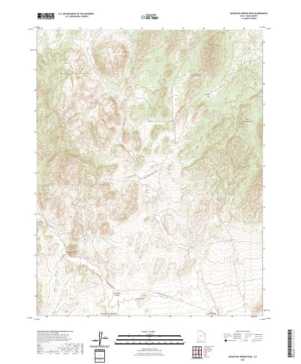
2023 Mountain Spring Peak
Iron County, UT

2023 Mount Escalante
Iron County, UT

2023 Navajo Lake
Iron County, UT

2023 Page Ranch
Iron County, UT
2023 Panguitch Lake
Iron County, UT
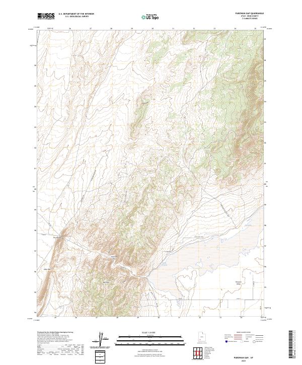
2023 Parowan Gap
Iron County, UT

2023 Pinon Point
Iron County, UT

2023 Red Creek Reservoir
Iron County, UT
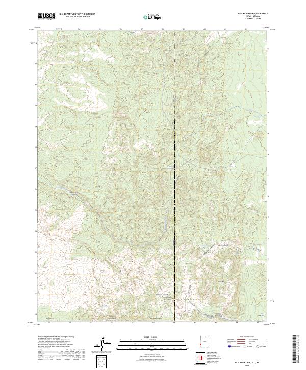
2023 Rice Mountain
Iron County, UT

2023 Silver Peak
Iron County, UT

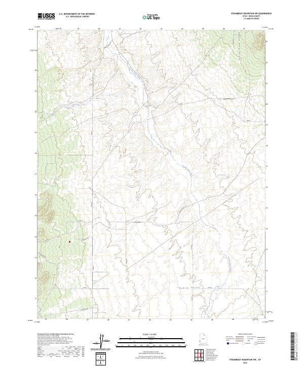
2023 Steamboat Mountain
Iron County, UT
2023 Steamboat Mountain SW
Iron County, UT

2023 Stoddard Mountain
Iron County, UT

2023 The Three Peaks
Iron County, UT

2023 Uvada
Iron County, UT

2023 Webster Flat
Iron County, UT

2023 Yale Crossing
Iron County, UT

2023 Zane
Iron County, UT