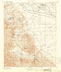
1913 Map of Panoche
USGS Topo · Published 1942About this map
The San Joaquin Valley meets the rising complex of the Panoche Hills and Griswold Hills in this early 20th-century survey. The northern flats show the agricultural development around Dos Palos and South Dos Palos, where the Southern Pacific R R follows the path of the Main Canal. This area is characterized by an intricate network of irrigation and livestock facilities, including the Hog Ranch and Oxalis.
Find a feature on this map
55 named features on this map. Tap any name to fly to it.
Don’t see what you’re looking for? This feature index may not catch every label — zoom into the map to look around manually.
Map Details
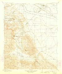
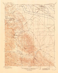
Editions of this 1913 Panoche Map
4 editions found
Other maps of this area

1912 · Coalinga
USGS Topo · 1:125,000

1913 · Panoche
USGS Topo · 1:125,000

1915 · Priest Valley
USGS Topo · 1:125,000

1916 · Santa Rita Bridge
USGS Topo · 1:24,000

1916 · Delta Ranch
USGS Topo · 1:24,000

1918 · Bliss Ranch
USGS Topo · 1:31,680

1919 · San Benito
USGS Topo · 1:62,500

1920 · Pacheco Pass
USGS Topo · 1:62,500

1920 · Santa Rita Bridge
USGS Topo · 1:31,680

1920 · Carrisalito Spring
USGS Topo · 1:31,680