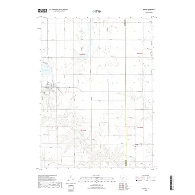
2018 Map of Panora
USGS Topo · Published 2018About this map
The Middle Raccoon River carves a winding path through this corner of Guthrie and Dallas counties, anchoring the regional geography alongside the significant waters of Lake Panorama. The landscape reflects a transition from the structured street grid of Panora to the smaller settlement of Linden to the southeast. Much of the terrain is defined by its agricultural layout, intersected by the Raccoon River Valley Trl, which follows a clear corridor through the river valley. Local history is preserved in several burial grounds, including Greenwood Cem near the town center and the more isolated Brethren Cem and Pleasant Hill Cem. Named water features like Mosquito Cr and Bay Br drain the surrounding fields, illustrating the intricate drainage patterns that have shaped the development of these rural Iowa communities.
Find a feature on this map
49 named features on this map. Tap any name to fly to it.
Don’t see what you’re looking for? This feature index may not catch every label — zoom into the map to look around manually.
Map Details
Editions of this 2018 Panora Map
This is the sole edition of this map. No revisions or reprints were ever made.
Other maps of this area

1949 · Adel
USGS Topo · 1:62,500

1950 · Perry
USGS Topo · 1:62,500

1951 · Perry
USGS Topo · 1:62,500

1951 · Adel
USGS Topo · 1:62,500

1952 · Panora
USGS Topo · 1:62,500

1954 · Bagley
USGS Topo · 1:62,500

1954 · Omaha
USGS Topo · 1:250,000

1957 · Omaha
USGS Topo · 1:250,000

1958 · Omaha
USGS Topo · 1:250,000

1982 · Guthrie Center East
USGS Topo · 1:24,000