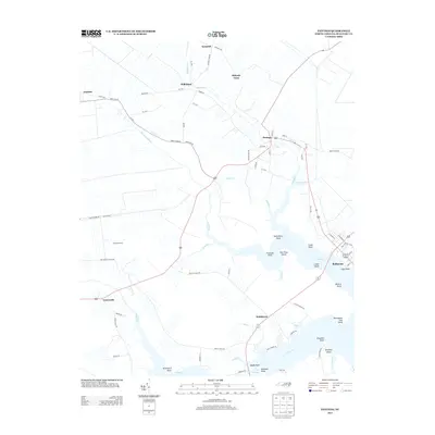
2013 Map of Pantego
USGS Topo · Published 2013About this map
Pantego and Belhaven serve as the primary hubs in this coastal Carolina landscape, where the labyrinthine waterways of the Pungo River delta dictate the patterns of settlement and industry. The map illustrates a region defined by its connection to the water, from the commercial activity at Pungo Fisheries to the small residential pockets like Smithtown and Norflick Shore. These communities are linked by a network of state roads including NC-1628 and NC-1702, which navigate around the numerous creeks and inlets that carve into the Beaufort County shoreline.
Find a feature on this map
81 named features on this map. Tap any name to fly to it.
Don’t see what you’re looking for? This feature index may not catch every label — zoom into the map to look around manually.
Map Details
Editions of this 2013 Pantego Map
This is the sole edition of this map. No revisions or reprints were ever made.
Other maps of this area

1914 · Belhaven
USGS Topo · 1:48,000

1916 · Belhaven
USGS Topo · 1:62,500

1943 · Plymouth
USGS Topo · 1:125,000

1950 · Pinetown
USGS Topo · 1:24,000

1951 · Bath
USGS Topo · 1:24,000

1951 · Ransomville
USGS Topo · 1:24,000

1951 · Pamlico Beach
USGS Topo · 1:24,000

1951 · Belhaven
USGS Topo · 1:24,000

1951 · Pantego
USGS Topo · 1:24,000

1953 · Rocky Mount
USGS Topo · 1:250,000