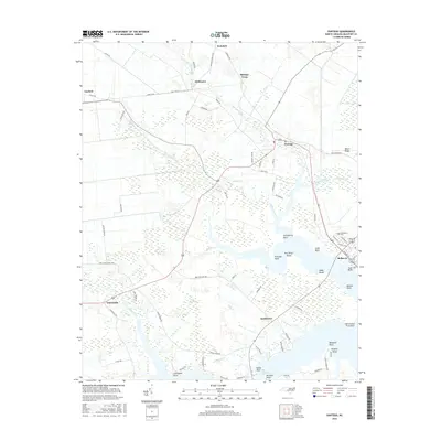
2016 Map of Pantego
USGS Topo · Published 2016About this map
The low-lying estuarine landscape of Beaufort County is defined by the meeting of drainage canals and the Pungo River. Belhaven serves as a primary hub on this sheet, situated where Pantego Creek and Cuckolds Creek converge. The town's grid is dense with local history, featuring Oddfellows Cem and several waterfront points such as Gum Point and Bivalve Point. To the west, the rural character is shaped by extensive water management features like the Broad Creek Canal and the natural wetlands of Hell Swamp. Small crossroads and landing-based settlements including Yeatesville, Pantego, and Smithtown are linked by a network of local roads such as Seed Tick Neck Rd and Free Union Church Rd. This map captures a coastal community deeply integrated with its waterways, from the residential shoreline at Norflick Shore to the points and reaches of The Narrows.
Find a feature on this map
84 named features on this map. Tap any name to fly to it.
Don’t see what you’re looking for? This feature index may not catch every label — zoom into the map to look around manually.
Map Details
Editions of this 2016 Pantego Map
This is the sole edition of this map. No revisions or reprints were ever made.
Other maps of this area

1914 · Belhaven
USGS Topo · 1:48,000

1916 · Belhaven
USGS Topo · 1:62,500

1943 · Plymouth
USGS Topo · 1:125,000

1950 · Pinetown
USGS Topo · 1:24,000

1951 · Bath
USGS Topo · 1:24,000

1951 · Ransomville
USGS Topo · 1:24,000

1951 · Pamlico Beach
USGS Topo · 1:24,000

1951 · Belhaven
USGS Topo · 1:24,000

1951 · Pantego
USGS Topo · 1:24,000

1953 · Rocky Mount
USGS Topo · 1:250,000