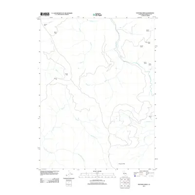
2012 Map of Panther Creek
USGS Topo · Published 2012About this map
Redwood Cr and the Little River anchor this drainage system in northern Humboldt County, where high ridges and open upland meadows define the geography. The map identifies several distinctive meadows including Barber Prairie, Johnson Prairie, and Indian Prairie, likely serving as significant clearings in an otherwise densely wooded environment. These upland spaces contrast with the steep verticality of landmarks like Devils Peak and Squaw Tit. Settlement is sparse in this 2012 survey, marked primarily by the Ray Hurd Ranch along the eastern bank of the Redwood Creek. High mountain navigation is represented by Shotgun Pass and Devils Pass in the northwest, while the K and K Rd provides one of the few named access routes through the southern Wiregrass Ridge area.
Find a feature on this map
22 named features on this map. Tap any name to fly to it.
Don’t see what you’re looking for? This feature index may not catch every label — zoom into the map to look around manually.
Map Details
Editions of this 2012 Panther Creek Map
This is the sole edition of this map. No revisions or reprints were ever made.
Other maps of this area

1922 · Eureka
USGS Topo · 1:62,500

1922 · Korbel
USGS Topo · 1:62,500

1925 · Hoopa
USGS Topo · 1:125,000

1933 · Eureka
USGS Topo · 1:48,000

1942 · Eureka
USGS Topo · 1:62,500

1945 · Trinidad
USGS Topo · 1:62,500

1945 · Coyote Peak
USGS Topo · 1:62,500

1945 · Blue Lake
USGS Topo · 1:62,500

1948 · Weed
USGS Topo · 1:250,000

1949 · Eureka
USGS Topo · 1:250,000