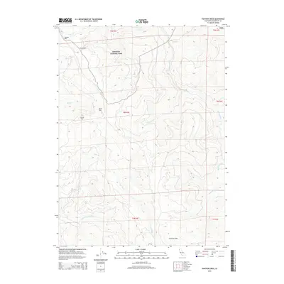
2015 Map of Panther Creek
USGS Topo · Published 2015About this map
Redwood National Park dominates the northern reaches of this coastal Humboldt County terrain, protecting a landscape defined by deep drainages and sharp ridgelines. The hydrology is anchored by the southward-flowing Redwood Creek and the meandering headwaters of the Little River, which carves through the southern half of the quadrangle. High-elevation landmarks such as Devils Peak and Wiregrass Ridge provide significant topographic relief, separated by traversable points like Devils Pass and Shotgun Pass.
Find a feature on this map
23 named features on this map. Tap any name to fly to it.
Don’t see what you’re looking for? This feature index may not catch every label — zoom into the map to look around manually.
Map Details
Editions of this 2015 Panther Creek Map
This is the sole edition of this map. No revisions or reprints were ever made.
Other maps of this area

1922 · Eureka
USGS Topo · 1:62,500

1922 · Korbel
USGS Topo · 1:62,500

1925 · Hoopa
USGS Topo · 1:125,000

1933 · Eureka
USGS Topo · 1:48,000

1942 · Eureka
USGS Topo · 1:62,500

1945 · Trinidad
USGS Topo · 1:62,500

1945 · Coyote Peak
USGS Topo · 1:62,500

1945 · Blue Lake
USGS Topo · 1:62,500

1948 · Weed
USGS Topo · 1:250,000

1949 · Eureka
USGS Topo · 1:250,000