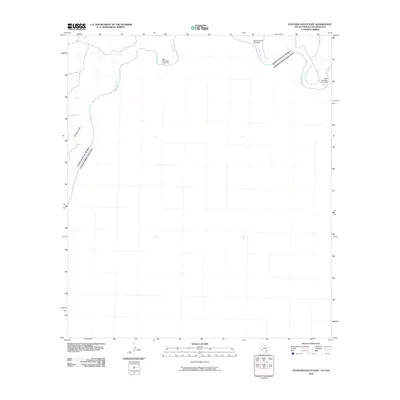
2010 Map of Panther Gulch East
USGS Topo · Published 2010About this map
The Rio Grande serves as the defining international border on this 2010 survey of the desert frontier between the United States and Mexico. The landscape is marked by the transit points of a bygone era, specifically the San Francisco Crossing, Mare Canyon Crossing, and Paso Colorado Crossing. These river crossings suggest historical routes across the water, providing a glimpse into the connectivity of this remote river corridor. To the west, the drainage of Panther Gulch cuts through the terrain, illustrating the geographic features that have dictated movement and settlement patterns along this section of the border. This map from the U.S. Geological Survey provides an essential record of the hydrology and topography that separate the two nations.
Find a feature on this map
6 named features on this map. Tap any name to fly to it.
Don’t see what you’re looking for? This feature index may not catch every label — zoom into the map to look around manually.
Map Details
Editions of this 2010 Panther Gulch East Map
This is the sole edition of this map. No revisions or reprints were ever made.
Other maps of this area

1918 · Dryden Crossing
USGS Topo · 1:62,500

1918 · Indian Wells
USGS Topo · 1:62,500

1959 · Emory Peak
USGS Topo · 1:250,000

1965 · Emory Peak
USGS Topo · 1:250,000
1983 · Panther Gulch East
USGS Topo · 1:24,000
1983 · Panther Gulch West
USGS Topo · 1:24,000
1983 · Candilla Canyon West
USGS Topo · 1:24,000
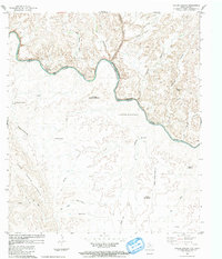
1983 · Taylor Canyon
USGS Topo · 1:24,000
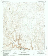
1983 · Candilla Canyon East
USGS Topo · 1:24,000
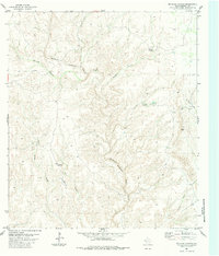
1983 · McClain Canyon
USGS Topo · 1:24,000