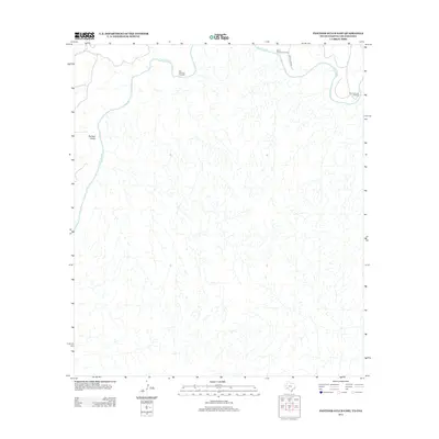
2013 Map of Panther Gulch East
USGS Topo · Published 2013About this map
The Rio Grande snakes along the northern edge of this 2013 survey, forming the international boundary between Texas and Mexico. This arid landscape is defined by the winding drainages of Panther Gulch and several historic river access points where the water could be traversed. These include San Francisco Crossing, Mare Canyon Crossing, and Paso Colorado Crossing, which likely served as vital connectors for livestock and local commerce in an area where developed infrastructure is sparse. A solitary route, Bone Water Rd, provides the primary overland access into the eastern reaches of the terrain. The topographical map emphasizes the intricate drainage networks that feed toward the river, highlighting the fundamental role of hydrology in this borderlands environment.
Find a feature on this map
6 named features on this map. Tap any name to fly to it.
Don’t see what you’re looking for? This feature index may not catch every label — zoom into the map to look around manually.
Map Details
Editions of this 2013 Panther Gulch East Map
This is the sole edition of this map. No revisions or reprints were ever made.
Other maps of this area

1918 · Dryden Crossing
USGS Topo · 1:62,500

1918 · Indian Wells
USGS Topo · 1:62,500

1959 · Emory Peak
USGS Topo · 1:250,000

1965 · Emory Peak
USGS Topo · 1:250,000
1983 · Panther Gulch East
USGS Topo · 1:24,000
1983 · Panther Gulch West
USGS Topo · 1:24,000
1983 · Candilla Canyon West
USGS Topo · 1:24,000
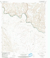
1983 · Taylor Canyon
USGS Topo · 1:24,000
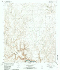
1983 · Candilla Canyon East
USGS Topo · 1:24,000
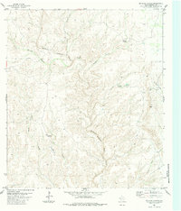
1983 · McClain Canyon
USGS Topo · 1:24,000