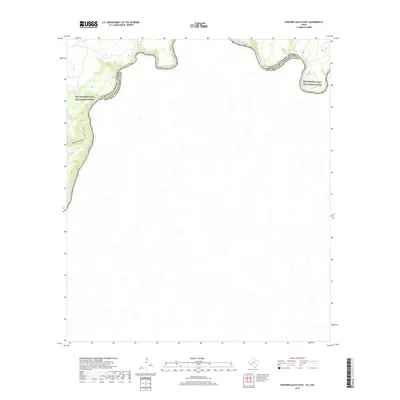
2019 Map of Panther Gulch East
USGS Topo · Published 2019About this map
The Rio Grande carves a sharp border through this international landscape, where the Rio Grande Wild and Scenic River corridor follows the deep bends of the water. The terrain is defined by the dramatic descent of Panther Gulch toward the riverbanks, marking the intersection of the United States of America and Estados Unidos Mexicanos. This 2019 survey documents a sparsely developed reach of the frontier, where the steep topography of the canyon walls dictates the course of the international boundary. The lack of roads or settlements underscores the protected and isolated nature of the wild river environment, preserving the arid canyon landscape exactly as the river has shaped it over centuries.
Find a feature on this map
4 named features on this map. Tap any name to fly to it.
Don’t see what you’re looking for? This feature index may not catch every label — zoom into the map to look around manually.
Map Details
Editions of this 2019 Panther Gulch East Map
This is the sole edition of this map. No revisions or reprints were ever made.
Other maps of this area

1918 · Dryden Crossing
USGS Topo · 1:62,500

1918 · Indian Wells
USGS Topo · 1:62,500

1959 · Emory Peak
USGS Topo · 1:250,000

1965 · Emory Peak
USGS Topo · 1:250,000
1983 · Panther Gulch East
USGS Topo · 1:24,000
1983 · Panther Gulch West
USGS Topo · 1:24,000
1983 · Candilla Canyon West
USGS Topo · 1:24,000
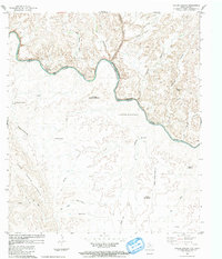
1983 · Taylor Canyon
USGS Topo · 1:24,000
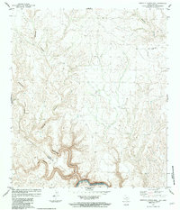
1983 · Candilla Canyon East
USGS Topo · 1:24,000
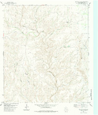
1983 · McClain Canyon
USGS Topo · 1:24,000