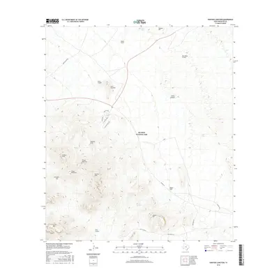
2016 Map of Panther Junction
USGS Topo · Published 2016About this map
Big Bend National Park serves as the backdrop for this 2016 survey, centered on the park's administrative heart at Panther Junction. The map details a complex landscape where arid desert flats meet the rising slopes of the Chisos Mountains. Crucial water sources, vital in this desert environment, are documented at locations like Panther Spring, Quail Spring, and Estufa Spring. Notable topographic landmarks such as Lone Mountain and Pummel Peak dominate the skyline, while drainage patterns are traced through Big Yellow Arroyo and Hannold Draw. This modern topographic study captures the infrastructure of the park, including Pk Route 12 and the winding Pine Canyon Rd, reflecting the intersection of natural preservation and public access in Brewster County.
Find a feature on this map
31 named features on this map. Tap any name to fly to it.
Don’t see what you’re looking for? This feature index may not catch every label — zoom into the map to look around manually.
Map Details
Editions of this 2016 Panther Junction Map
This is the sole edition of this map. No revisions or reprints were ever made.
Other maps of this area

1903 · Chisos Mountains
USGS Topo · 1:125,000

1905 · Chisos Mountains
USGS Topo · 1:125,000

1959 · Emory Peak
USGS Topo · 1:250,000

1965 · Emory Peak
USGS Topo · 1:250,000

1971 · Glenn Spring
USGS Topo · 1:24,000
1971 · McKinney Springs
USGS Topo · 1:24,000
1971 · Grapevine Hills
USGS Topo · 1:24,000
1971 · San Vicente
USGS Topo · 1:24,000
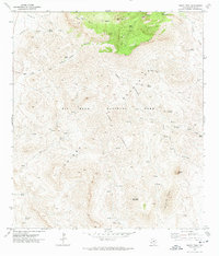
1971 · Emory Peak
USGS Topo · 1:24,000
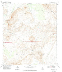
1971 · Sombrero Peak
USGS Topo · 1:24,000