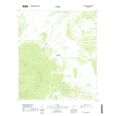
2019 Map of Panther Junction
USGS Topo · Published 2019About this map
Big Bend National Park serves as the backdrop for this detailed topographic study, centered on the administrative hub at Panther Junction. The landscape is dominated by the high-relief peaks of the eastern Chisos Mountains, including Panther Peak, Pummel Peak, and the distinctive Crown Mtn. These geological formations are carved by dramatic drainage systems such as Green Gulch, Avery Canyon, and the sprawling Big Yellow Arroyo.
Find a feature on this map
39 named features on this map. Tap any name to fly to it.
Don’t see what you’re looking for? This feature index may not catch every label — zoom into the map to look around manually.
Map Details
Editions of this 2019 Panther Junction Map
This is the sole edition of this map. No revisions or reprints were ever made.
Other maps of this area

1903 · Chisos Mountains
USGS Topo · 1:125,000

1905 · Chisos Mountains
USGS Topo · 1:125,000

1959 · Emory Peak
USGS Topo · 1:250,000

1965 · Emory Peak
USGS Topo · 1:250,000

1971 · Glenn Spring
USGS Topo · 1:24,000
1971 · McKinney Springs
USGS Topo · 1:24,000
1971 · Grapevine Hills
USGS Topo · 1:24,000
1971 · San Vicente
USGS Topo · 1:24,000
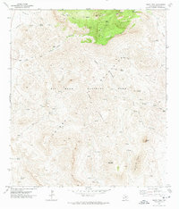
1971 · Emory Peak
USGS Topo · 1:24,000
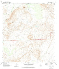
1971 · Sombrero Peak
USGS Topo · 1:24,000