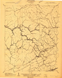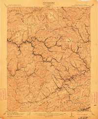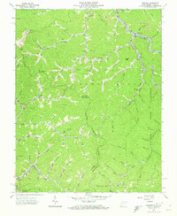
1963 Map of Panther
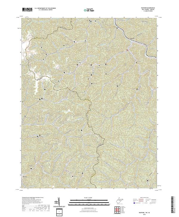
USGS Topo · Published 1973About this map
Tug Fork carves through the Appalachian landscape of McDowell County, West Virginia, and Buchanan County, Virginia, during a period of active resource extraction. The community of Panther serves as a focal point along the Norfolk and Western railway, while the surrounding ridges are dotted with countless family burial grounds such as Blankenship Cem, Hunt Cem, and Matney Cem. This 1963 survey captures the area just as mining operations and Strip Mines were reshaping the terrain of Sandy Ridge and State Line Ridge. The presence of numerous small institutions like Bee Branch Ch, Little Zion Ch, and the Bull Creek Sch reveals a dispersed but deeply rooted rural population. Higher elevations are marked by the Lookout Tower and a network of jeep trails, highlighting the balance between industrial use and the preserved wilderness of the State Forest.
Find a feature on this map
95 named features on this map. Tap any name to fly to it.
Don’t see what you’re looking for? This feature index may not catch every label — zoom into the map to look around manually.
Map Details
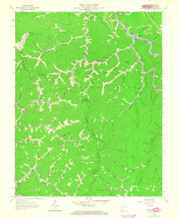
Editions of this 1963 Panther Map
3 editions found
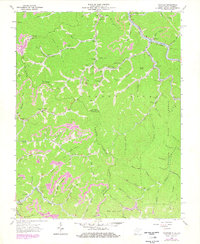
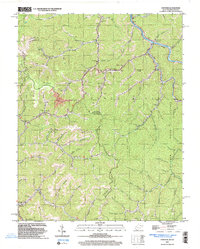
Historical Maps of Panther Through Time
5 maps found