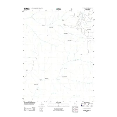
2012 Map of Panther Spring
USGS Topo · Published 2012About this map
Panther Spring and a series of high-altitude water sources like Knass Spring and Two-Barrel Spring define this remote section of Tehama County. The landscape is marked by isolated homesteads and named camps, including Peligreen Place, Avery Place, and Pape Place, which are connected by forest routes such as Ponderosa Way and Bucks Flat Rd. These sites reflect the area's history of cattle ranching and early mountain passage, further evidenced by the Wild Horse Corral and the isolated Payne Spring Cabin near the western edge.
Find a feature on this map
56 named features on this map. Tap any name to fly to it.
Don’t see what you’re looking for? This feature index may not catch every label — zoom into the map to look around manually.
Map Details
Editions of this 2012 Panther Spring Map
This is the sole edition of this map. No revisions or reprints were ever made.
Other maps of this area

1886 · Lassen Peak
USGS Topo · 1:250,000

1892 · Lassen Peak
USGS Topo · 1:250,000

1894 · Lassen Peak
USGS Topo · 1:250,000

1935 · Paynes Creek
USGS Topo · 1:96,000

1941 · Mineral
USGS Topo · 1:125,000
1953 · Panther Spring
USGS Topo · 1:62,500

1955 · Westwood
USGS Topo · 1:250,000

1956 · Lassen Peak
USGS Topo · 1:62,500

1956 · Manton
USGS Topo · 1:62,500

1958 · Westwood
USGS Topo · 1:250,000