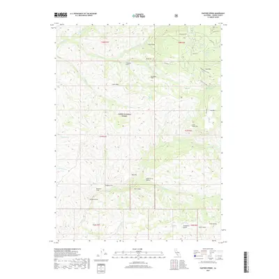
2018 Map of Panther Spring
USGS Topo · Published 2018About this map
Lassen National Forest encompasses the high country of eastern Tehama County, where numerous seasonal water sources and canyons define the landscape. The historical Ponderosa Way traverses the terrain, providing access to landmarks like Horseback Ridge and the volcanic prominence of Round Mtn. The map reveals a complex network of springs, including Panther Spring, Emigrant Spring, and Cave Spring, which were vital waypoints for those navigating the eastern slopes.
Find a feature on this map
49 named features on this map. Tap any name to fly to it.
Don’t see what you’re looking for? This feature index may not catch every label — zoom into the map to look around manually.
Map Details
Editions of this 2018 Panther Spring Map
This is the sole edition of this map. No revisions or reprints were ever made.
Other maps of this area

1886 · Lassen Peak
USGS Topo · 1:250,000

1892 · Lassen Peak
USGS Topo · 1:250,000

1894 · Lassen Peak
USGS Topo · 1:250,000

1935 · Paynes Creek
USGS Topo · 1:96,000

1941 · Mineral
USGS Topo · 1:125,000
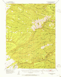
1953 · Panther Spring
USGS Topo · 1:62,500

1955 · Westwood
USGS Topo · 1:250,000

1956 · Lassen Peak
USGS Topo · 1:62,500

1956 · Manton
USGS Topo · 1:62,500

1958 · Westwood
USGS Topo · 1:250,000