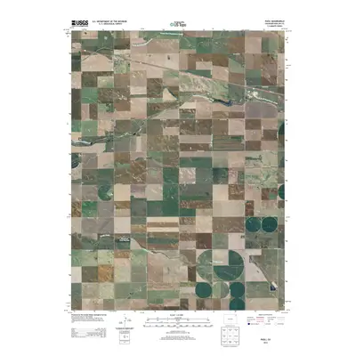
2013 Map of Paoli
USGS Topo · Published 2013About this map
Paoli sits at the intersection of Us-6 W and CO Road 21, serving as the primary hub for this agricultural landscape in Phillips County. The town is laid out with a compact grid featuring Bee St, while the surrounding section lines are defined by an extensive network of county roads. The terrain is shaped by the drainage of the North Fork Frenchman Creek and South Fork Frenchman Creek, which traverse the prairie from west to east. To the south, the Frenchman Creek Reservoir provides a critical water source along the path of Sandy Creek. Genealogists and local historians will find the Posegate Cem located just south of town, a quiet landmark amidst the expansive grain fields and ranches that characterize this high plains region during the early twenty-first century.
Find a feature on this map
32 named features on this map. Tap any name to fly to it.
Don’t see what you’re looking for? This feature index may not catch every label — zoom into the map to look around manually.
Map Details
Editions of this 2013 Paoli Map
This is the sole edition of this map. No revisions or reprints were ever made.
Other maps of this area

1954 · Sterling
USGS Topo · 1:250,000

1958 · Sterling
USGS Topo · 1:250,000

1962 · Holyoke NE
USGS Topo · 1:24,000

1962 · Haxtun East
USGS Topo · 1:24,000

1962 · Holyoke NW
USGS Topo · 1:24,000

1971 · Paoli
USGS Topo · 1:24,000

1971 · Holyoke
USGS Topo · 1:24,000

1971 · Fiddler Peak
USGS Topo · 1:24,000

1971 · Wauneta NE
USGS Topo · 1:24,000

1971 · Clarkville NE
USGS Topo · 1:24,000