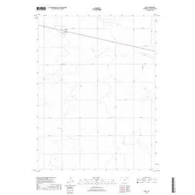
2019 Map of Paoli
USGS Topo · Published 2019About this map
Paoli occupies the northern portion of this High Plains landscape in Phillips County, centered around the intersection of local routes and the northern rail corridor. This modern survey illustrates a quiet agricultural region defined by its section-line road system, including Co Rd 26 and Co Rd 14. The terrain is subtly carved by drainage networks such as N Fork Frenchman Cr and S Fork Frenchman Cr, which flow through the eastern and northern townships. Genealogists and local historians will find the Posegate Cem located just south of the main settlement along Co Rd 22. The map also captures the path of Sandy Cr as it meanders through the southern sections, providing a clear record of the area's hydrology and land divisions in the late 2010s.
Find a feature on this map
18 named features on this map. Tap any name to fly to it.
Don’t see what you’re looking for? This feature index may not catch every label — zoom into the map to look around manually.
Map Details
Editions of this 2019 Paoli Map
This is the sole edition of this map. No revisions or reprints were ever made.
Other maps of this area

1954 · Sterling
USGS Topo · 1:250,000

1958 · Sterling
USGS Topo · 1:250,000

1962 · Holyoke NE
USGS Topo · 1:24,000

1962 · Haxtun East
USGS Topo · 1:24,000

1962 · Holyoke NW
USGS Topo · 1:24,000

1971 · Paoli
USGS Topo · 1:24,000

1971 · Holyoke
USGS Topo · 1:24,000

1971 · Fiddler Peak
USGS Topo · 1:24,000

1971 · Wauneta NE
USGS Topo · 1:24,000

1971 · Clarkville NE
USGS Topo · 1:24,000