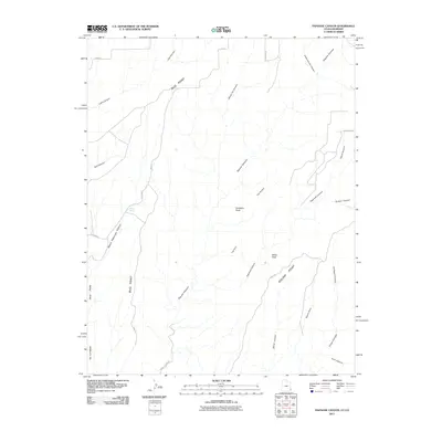
2011 Map of Papoose Canyon
USGS Topo · Published 2011About this map
Tin Cup Mesa and Bug Point anchor this high desert landscape on the Utah-Colorado state line, where the terrain is defined by a dense network of branching drainages. The map reveals a transition from the plateau of Bug Park into deeply incised features like Papoose Canyon and Ruin Canyon. These geographical names often reflect early local landmarks or natural occurrences, such as Tucker Spring and the distinctive Gobblers Knob.
Find a feature on this map
32 named features on this map. Tap any name to fly to it.
Don’t see what you’re looking for? This feature index may not catch every label — zoom into the map to look around manually.
Map Details
Editions of this 2011 Papoose Canyon Map
This is the sole edition of this map. No revisions or reprints were ever made.
Other maps of this area

1886 · Abajo
USGS Topo · 1:250,000

1892 · Abajo
USGS Topo · 1:250,000

1893 · Abajo
USGS Topo · 1:250,000

1955 · Verdure 4 NW
USGS Topo · 1:24,000

1955 · Verdure 4 SW
USGS Topo · 1:24,000

1956 · Cortez
USGS Topo · 1:250,000

1957 · Moqui NW
USGS Topo · 1:24,000

1957 · Cedar 3 NW
USGS Topo · 1:24,000

1957 · Aneth 1 NE
USGS Topo · 1:24,000

1957 · Cedar 3 SW
USGS Topo · 1:24,000