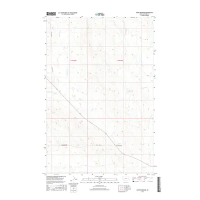
2017 Map of Papps Reservoir
USGS Topo · Published 2017About this map
Papps Reservoir and Innes Reservoir anchor this 2017 survey of the open Montana rangeland in Prairie County. The landscape is defined by a dense network of seasonal drainages, where the headwaters of Cedar Cr and its E Fork Cedar Cr carve through the terrain alongside Brackett Cr and Stouts Cr. This area represents the classic high plains geography of Eastern Montana, where water management through small reservoirs was essential for livestock and land use in the late 20th and early 21st centuries.
Find a feature on this map
14 named features on this map. Tap any name to fly to it.
Don’t see what you’re looking for? This feature index may not catch every label — zoom into the map to look around manually.
Map Details
Editions of this 2017 Papps Reservoir Map
This is the sole edition of this map. No revisions or reprints were ever made.
Other maps of this area

1953 · Miles City
USGS Topo · 1:250,000

1954 · Glendive
USGS Topo · 1:250,000

1957 · Miles City
USGS Topo · 1:250,000

1957 · Glendive
USGS Topo · 1:250,000

1958 · Miles City
USGS Topo · 1:250,000

1958 · Glendive
USGS Topo · 1:250,000

1972 · Calypso
USGS Topo · 1:24,000

1972 · Papps Reservoir
USGS Topo · 1:24,000

1972 · Mc Clure Reservoir
USGS Topo · 1:24,000

1972 · Diamond G Creek
USGS Topo · 1:24,000