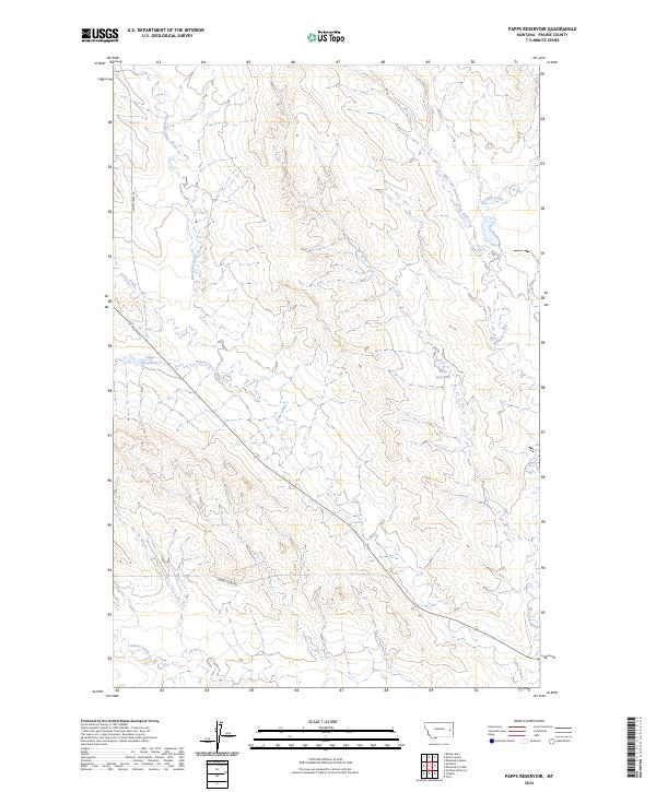
2024 Map of Papps Reservoir
USGS Topo · Published 2024About this map
Papps Reservoir and Innes Reservoir anchor this section of the Montana landscape, highlighting the critical role of water management in the arid environment of Prairie County. The drainage network is well-defined by the paths of Cedar Creek and Brackett Creek, which are fed by several tributaries including Stouts Creek and the West Fork Brackett Creek. Transportation through these eastern Montana highlands is largely facilitated by the unimproved corridors of Cedar Creek Rd and Cherry Creek Rd, providing access across the township boundaries of T14N and T13N. This 2024 survey documents the hydrographic patterns and the sparse network of rural roads that characterize this ranching and watershed region.
Find a feature on this map
14 named features on this map. Tap any name to fly to it.
Don’t see what you’re looking for? This feature index may not catch every label — zoom into the map to look around manually.
Map Details
Editions of this 2024 Papps Reservoir Map
This is the sole edition of this map. No revisions or reprints were ever made.
Other maps of this area

1953 · Miles City
USGS Topo · 1:250,000

1954 · Glendive
USGS Topo · 1:250,000

1957 · Miles City
USGS Topo · 1:250,000

1957 · Glendive
USGS Topo · 1:250,000

1958 · Miles City
USGS Topo · 1:250,000

1958 · Glendive
USGS Topo · 1:250,000

1972 · Calypso
USGS Topo · 1:24,000

1972 · Papps Reservoir
USGS Topo · 1:24,000

1972 · Mc Clure Reservoir
USGS Topo · 1:24,000

1972 · Diamond G Creek
USGS Topo · 1:24,000