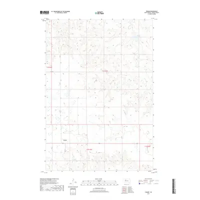
2017 Map of Parade
USGS Topo · Published 2017About this map
The settlement of Parade sits in a high-prairie landscape defined by the intersection of rural thoroughfares and winding seasonal waterways. This 2017 topographic survey highlights the essential water management features of the region, most notably the Goose Creek Dam which impounds Goose Cr in the northeastern reaches of the quadrangle. The terrain is a complex series of draws and ridges, drained by Hosmer Cr as it flows through the southern sections.
Find a feature on this map
15 named features on this map. Tap any name to fly to it.
Don’t see what you’re looking for? This feature index may not catch every label — zoom into the map to look around manually.
Map Details
Editions of this 2017 Parade Map
This is the sole edition of this map. No revisions or reprints were ever made.
Other maps of this area

1951 · Ridgeview NW
USGS Topo · 1:24,000

1952 · Parade NE
USGS Topo · 1:24,000

1952 · Parade NW
USGS Topo · 1:24,000

1953 · McIntosh
USGS Topo · 1:250,000

1954 · Pierre
USGS Topo · 1:250,000

1958 · Pierre
USGS Topo · 1:250,000

1958 · McIntosh
USGS Topo · 1:250,000

1981 · Herbert Creek
USGS Topo · 1:24,000

1981 · Rousseau Creek NW
USGS Topo · 1:24,000

1981 · Herbert Creek NE
USGS Topo · 1:24,000