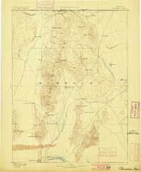
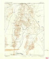
1893 Map of Paradise
USGS Topo · Published 1900About this map
Paradise City serves as the central hub of this northern Nevada landscape, surveyed during the early 1880s by A.L. Webster under the direction of G.K. Gilbert. The terrain is dominated by the north-south spine of the Santa Rosa Mountains, which separate the drainage of the Quinn River to the west from the Little Humboldt River and the fertile expanse of Eden Valley to the east. The map records a critical era of Western transit, showing the Central Pacific R.R. following the curve of the Humboldt River at the bottom edge near Winnemucca Mt.
Find a feature on this map
41 named features on this map. Tap any name to fly to it.
Don’t see what you’re looking for? This feature index may not catch every label — zoom into the map to look around manually.
Map Details
Editions of this 1893 Paradise Map
6 editions found
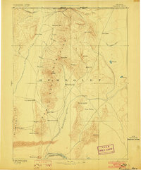
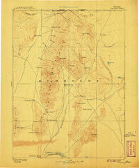
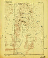
Other maps of this area

1882 · Paradise
USGS Topo · 1:250,000

1886 · Disaster
USGS Topo · 1:250,000

1893 · Paradise
USGS Topo · 1:250,000

1893 · Disaster
USGS Topo · 1:250,000

1931 · Lovelock
USGS Topo · 1:250,000

1932 · Sonoma Range
USGS Topo · 1:250,000

1935 · Lovelock
USGS Topo · 1:250,000

1939 · Sonoma Range
USGS Topo · 1:250,000

1945 · Osgood Mountains
USGS Topo · 1:62,500

1945 · Hot Springs
USGS Topo · 1:62,500