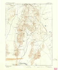
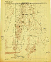
1893 Map of Paradise
USGS Topo · Published 1934About this map
Santa Rosa Mountains dominate this late 19th-century landscape, anchoring a high-desert environment where water sources dictated settlement patterns. Surveyed by A.L. Webster in 1882, the map documents the Oregon Nevada Boundary Line at the northern edge, with the small outpost of Mc Dermit serving as a remote gateway. The transition from high peaks like Santa Rosa Peak to the broad basin of the Little Humboldt River reveals the early infrastructure of the region, specifically along the southern corridor where the Southern Pacific R.R. skirts Winnemucca Mt.
Find a feature on this map
48 named features on this map. Tap any name to fly to it.
Don’t see what you’re looking for? This feature index may not catch every label — zoom into the map to look around manually.
Map Details
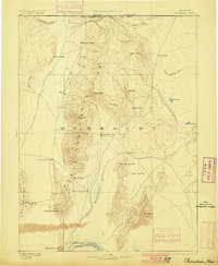
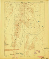
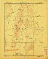
Editions of this 1893 Paradise Map
6 editions found
Other maps of this area

1882 · Paradise
USGS Topo · 1:250,000

1886 · Disaster
USGS Topo · 1:250,000

1893 · Paradise
USGS Topo · 1:250,000

1893 · Disaster
USGS Topo · 1:250,000

1931 · Lovelock
USGS Topo · 1:250,000

1932 · Sonoma Range
USGS Topo · 1:250,000

1935 · Lovelock
USGS Topo · 1:250,000

1939 · Sonoma Range
USGS Topo · 1:250,000

1945 · Osgood Mountains
USGS Topo · 1:62,500

1945 · Hot Springs
USGS Topo · 1:62,500