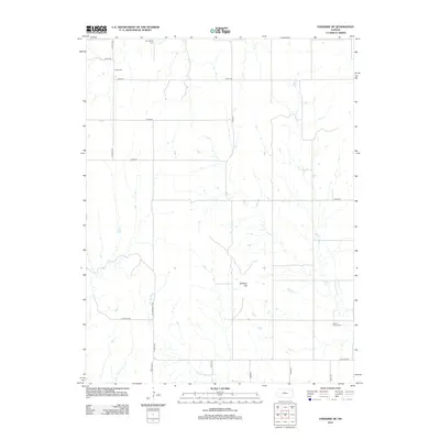
2012 Map of Paradise NE
USGS Topo · Published 2012About this map
Wolf Creek and its tributaries carve a network of drainages across this section of Russell County, creating a landscape defined by water and high ground. The most prominent natural landmark is Tabletop Hill, which rises above the surrounding plains. The human footprint is marked primarily by small community burial grounds that point to the area's pioneer history, including Victor Cemetery in the northwest and Grand Center Cemetery in the southeast. These cemeteries, alongside Cole Cemetery and Cedar Bluff Cemetery, serve as the primary genealogical anchors in a region where the settlement pattern is characterized by long-distance section-line roads such as S 200th Avenue and North County Line Road. The hydrology is dominated by the West Fork Wolf Creek, which meanders through the southern half of the quadrangle.
Find a feature on this map
23 named features on this map. Tap any name to fly to it.
Don’t see what you’re looking for? This feature index may not catch every label — zoom into the map to look around manually.
Map Details
Editions of this 2012 Paradise NE Map
This is the sole edition of this map. No revisions or reprints were ever made.
Other maps of this area

1896 · Osborne
USGS Topo · 1:125,000

1955 · Beloit
USGS Topo · 1:250,000

1959 · Beloit
USGS Topo · 1:250,000

1978 · Osborne SW
USGS Topo · 1:24,000
1978 · Paradise NW
USGS Topo · 1:24,000
1978 · Paradise
USGS Topo · 1:24,000
1978 · Alton SW
USGS Topo · 1:24,000
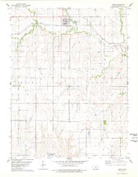
1978 · Luray
USGS Topo · 1:24,000
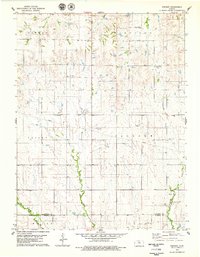
1978 · Vincent
USGS Topo · 1:24,000
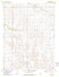
1978 · Waldo
USGS Topo · 1:24,000