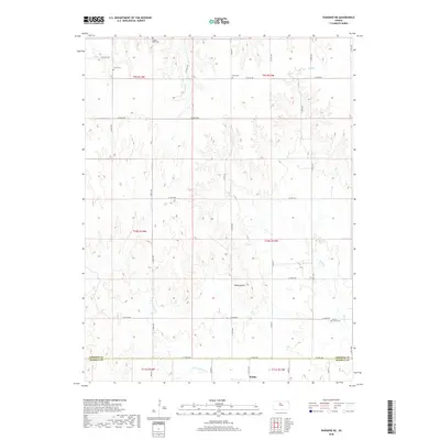
2018 Map of Paradise NE
USGS Topo · Published 2018About this map
Waldo sits at the southern edge of this landscape, marking the intersection of the Osborne Co Russell Co line. The terrain is defined by the branching drainages of Wolf Cr and the W Fork Wolf Cr, which carve through the high plains toward prominent landmarks like Tabletop Hill. This 2018 survey reveals a rural infrastructure built upon a rigid section-line road grid, including Co Rd 412 and 186 Blvd. For those tracing local heritage, the map is a primary resource for locating several rural burial grounds. The scattered distribution of Cedar Bluff Cem, Victor Cem, Cole Cem, and Grand Center Cem suggests the locations of earlier community centers that once anchored these agricultural townships.
Find a feature on this map
36 named features on this map. Tap any name to fly to it.
Don’t see what you’re looking for? This feature index may not catch every label — zoom into the map to look around manually.
Map Details
Editions of this 2018 Paradise NE Map
This is the sole edition of this map. No revisions or reprints were ever made.
Other maps of this area

1896 · Osborne
USGS Topo · 1:125,000

1955 · Beloit
USGS Topo · 1:250,000

1959 · Beloit
USGS Topo · 1:250,000

1978 · Osborne SW
USGS Topo · 1:24,000
1978 · Paradise NW
USGS Topo · 1:24,000
1978 · Paradise
USGS Topo · 1:24,000
1978 · Alton SW
USGS Topo · 1:24,000
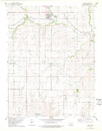
1978 · Luray
USGS Topo · 1:24,000
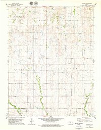
1978 · Vincent
USGS Topo · 1:24,000
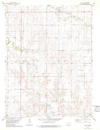
1978 · Waldo
USGS Topo · 1:24,000