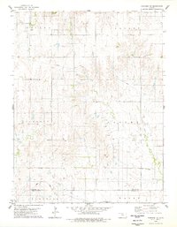
1978 Map of Paradise NE
USGS Topo · Published 1979About this map
The rolling plains along the Osborne and Russell County line are defined by the winding course of Wolf Creek and its West Fork. This late-1970s landscape shows a rural patchwork divided into townships such as Victor, Covert, Liberty, and Valley. For local historians and genealogists, the presence of isolated burial grounds like Cedar Bluff Cem, Victor Cem, and Cole Cem provides a clear link to the early families who settled these uplands. Economic activity is anchored by the Union Pacific railroad corridor at the southern edge, which passes near the Waldo boundary. The map also records specialized industrial footprints, such as a local Quarry and a series of Radio Towers, alongside a major pipeline that cuts across the northern townships.
Find a feature on this map
18 named features on this map. Tap any name to fly to it.
Don’t see what you’re looking for? This feature index may not catch every label — zoom into the map to look around manually.
Map Details
Editions of this 1978 Paradise NE Map
This is the sole edition of this map. No revisions or reprints were ever made.
Other maps of this area

1896 · Osborne
USGS Topo · 1:125,000

1955 · Beloit
USGS Topo · 1:250,000

1959 · Beloit
USGS Topo · 1:250,000

1978 · Osborne SW
USGS Topo · 1:24,000
1978 · Paradise NW
USGS Topo · 1:24,000
1978 · Paradise
USGS Topo · 1:24,000
1978 · Alton SW
USGS Topo · 1:24,000
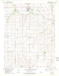
1978 · Luray
USGS Topo · 1:24,000
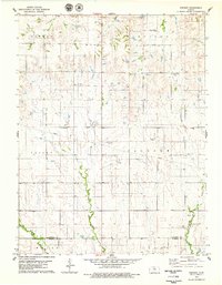
1978 · Vincent
USGS Topo · 1:24,000
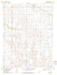
1978 · Waldo
USGS Topo · 1:24,000