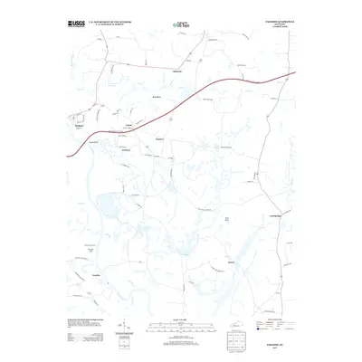
2013 Map of Paradise
USGS Topo · Published 2013About this map
The Green River winds through this landscape, marking a terrain defined by coal mining history and early industrial sites. The ruins of the Airdrie Iron Furnace stand near Airdrie Hill, serving as a silent reminder of 19th-century iron production efforts in the region. To the south, the namesake settlement of Paradise sits along the riverbank, a location famously associated with the environmental and social shifts of the mid-20th century power and mining industries. Small communities like Simmons, Rockport, and Echols are connected by a network of local routes such as Echols Church Rd and Nineteen School Rd, while the Western Kentucky Pkwy E cuts across the northern half. Topographical landmarks like Pilot Knob and Jackson Bluff provide vertical relief above the numerous water bodies, including Pond Cr and Pond Run.
Find a feature on this map
73 named features on this map. Tap any name to fly to it.
Don’t see what you’re looking for? This feature index may not catch every label — zoom into the map to look around manually.
Map Details
Editions of this 2013 Paradise Map
This is the sole edition of this map. No revisions or reprints were ever made.
Other maps of this area

1909 · Hartford
USGS Topo · 1:62,500

1909 · Central City
USGS Topo · 1:62,500

1911 · Drakesboro
USGS Topo · 1:48,000

1911 · Dunmor
USGS Topo · 1:48,000

1913 · Drakesboro
USGS Topo · 1:62,500

1914 · Dunmor
USGS Topo · 1:62,500

1952 · Equality
USGS Topo · 1:24,000

1953 · Drakesboro
USGS Topo · 1:24,000

1953 · Central City East
USGS Topo · 1:24,000

1953 · South Hill
USGS Topo · 1:24,000