
1918 Map of Paradise Valley
USGS Topo · Published 1918About this map
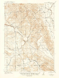
The Fort Hall Indian Reservation occupies the western portion of this 1916 survey, where the Portneuf River and Deadman Creek flow through the valley floor. To the east, the Blackfoot Mountains dominate the landscape, separating the reservation from Paradise Valley. The rugged character of the terrain is marked by features like High Basin Ridge and the volcanic expanse of the Willow Creek Lava Field in the northeast corner.
Find a feature on this map
30 named features on this map. Tap any name to fly to it.
Don’t see what you’re looking for? This feature index may not catch every label — zoom into the map to look around manually.
Map Details
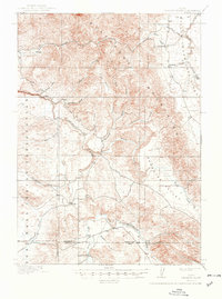
Editions of this 1918 Paradise Valley Map
3 editions found
Other maps of this area

1914 · Henry
USGS Topo · 1:48,000

1916 · Henry
USGS Topo · 1:62,500

1917 · Portneuf
USGS Topo · 1:62,500

1917 · Cranes Flat
USGS Topo · 1:62,500

1924 · Hell Creek
USGS Topo · 1:62,500

1924 · Ammon
USGS Topo · 1:62,500

1926 · Hell Creek
USGS Topo · 1:62,500

1950 · Goshen
USGS Topo · 1:24,000

1951 · Higham Peak
USGS Topo · 1:24,000

1952 · Goshen
USGS Topo · 1:24,000