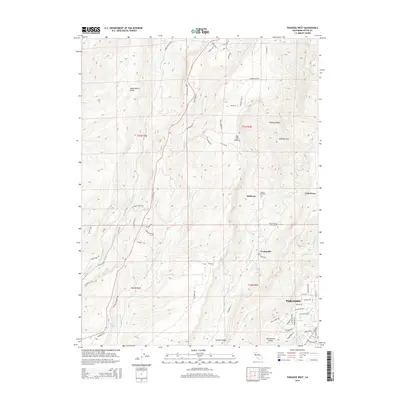
2015 Map of Paradise West
USGS Topo · Published 2015About this map
Musty Buck Ridge and Doe Mill Ridge define the steep, creek-cut geography north of the burgeoning residential areas of Paradise in this 2015 study. The map illustrates the transition from the relatively dense suburban street grid of southern sections to the canyon-defined settlements of Helltown, Centerville, and Irish Town to the north. These communities are situated along the deep drainages of Little Butte Cr and Butte Cr, reflecting a landscape where geography dictates human habitation and transport.
Find a feature on this map
75 named features on this map. Tap any name to fly to it.
Don’t see what you’re looking for? This feature index may not catch every label — zoom into the map to look around manually.
Map Details
Editions of this 2015 Paradise West Map
This is the sole edition of this map. No revisions or reprints were ever made.
Other maps of this area

1891 · Chico
USGS Topo · 1:125,000

1893 · Chico
USGS Topo · 1:125,000

1895 · Chico
USGS Topo · 1:125,000

1912 · Durham
USGS Topo · 1:31,680

1912 · Keefers
USGS Topo · 1:31,680

1912 · Clear Creek
USGS Topo · 1:31,680

1942 · Oroville
USGS Topo · 1:62,500
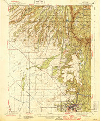
1944 · Oroville
USGS Topo · 1:62,500

1944 · Richardson Springs
USGS Topo · 1:62,500
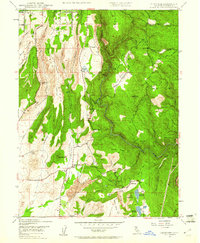
1947 · Cherokee
USGS Topo · 1:24,000