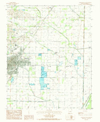
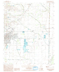
1983 Map of Paragould East
USGS Topo · Published 1984About this map
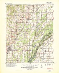
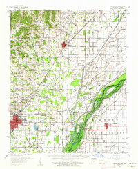
Paragould expands eastward toward a landscape defined by an intricate network of drainage ditches and small agricultural settlements. This early 1980s snapshot reveals the town's growth beyond the core, with outlying communities like Cotton Belt, Morning Star, and Twin Oaks serving as landmarks within the fertile Greene County plains. The land here is meticulously managed for agriculture, evidenced by the prominent grid of levees and fish ponds located south of Lake Side.
Find a feature on this map
25 named features on this map. Tap any name to fly to it.
Don’t see what you’re looking for? This feature index may not catch every label — zoom into the map to look around manually.
Map Details
Editions of this 1983 Paragould East Map
2 editions found
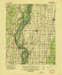
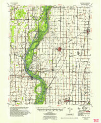
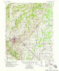
Other maps of this area
1939 · Jonesboro
USGS Topo · 1:62,500
1940 · Gainesville
USGS Topo · 1:62,500
1940 · Marmaduke
USGS Topo · 1:62,500
1941 · Leachville
USGS Topo · 1:62,500

1953 · Memphis
USGS Topo · 1:250,000
1956 · Leachville
USGS Topo · 1:62,500

1956 · Memphis
USGS Topo · 1:250,000

1957 · Poplar Bluff
USGS Topo · 1:250,000
1958 · Jonesboro
USGS Topo · 1:62,500
1958 · Marmaduke
USGS Topo · 1:62,500