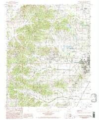
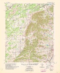
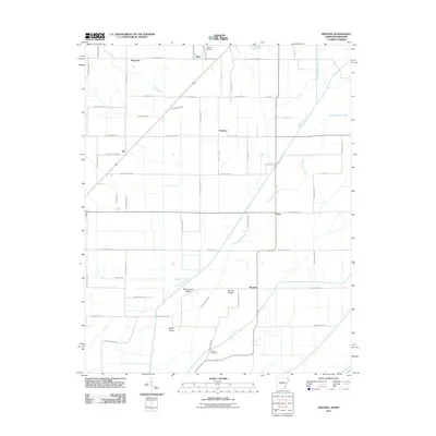
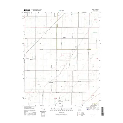
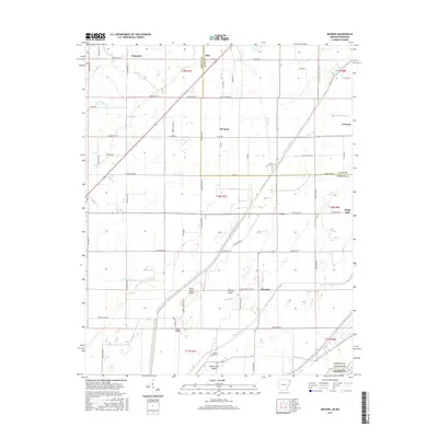
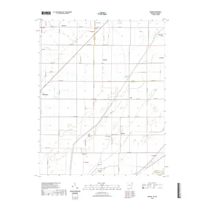
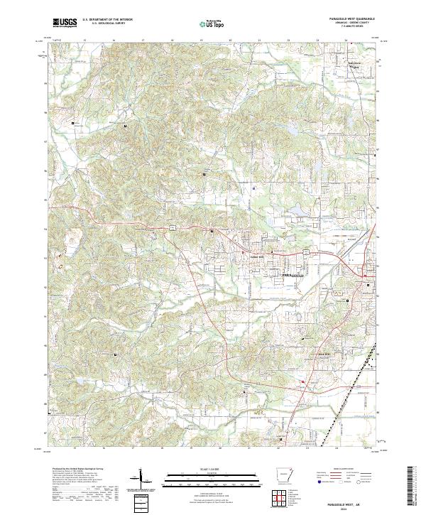
1984 Map of Paragould West
USGS Topo · Published 1998About this map
Paragould sits at the eastern edge of this mid-1980s landscape, serving as a hub for the agricultural and residential communities of Greene County. The map details the transition from the city's suburban fringes, including the Municipal Airport and a Drive-In Theater, to the more rural stretches westward. Small settlements like Oak Grove Heights and Greene High anchor the local geography, while the terrain is defined by a series of waterways including Eightmile Creek, Sugar Creek, and Village Creek.
Find a feature on this map
13 named features on this map. Tap any name to fly to it.
Don’t see what you’re looking for? This feature index may not catch every label — zoom into the map to look around manually.
Map Details
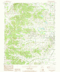
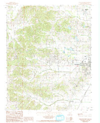
Editions of this 1984 Paragould West Map
3 editions found
Historical Maps of Paragould Through Time
27 maps found
1940 Gainesville
Greene County, AR

1958 Gainesville
Greene County, AR
1960 Gainesville
Greene County, AR
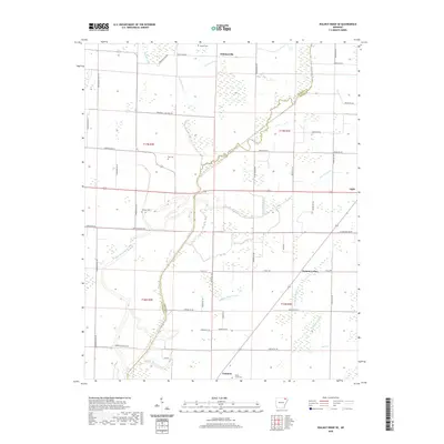
1965 Walnut Ridge SE
Greene County, AR
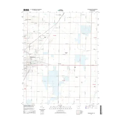
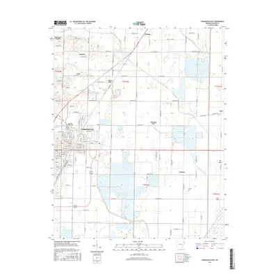
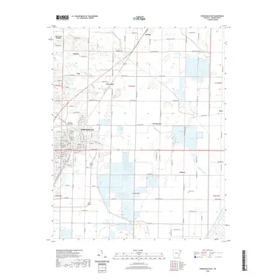
1983 Paragould East
Greene County, AR
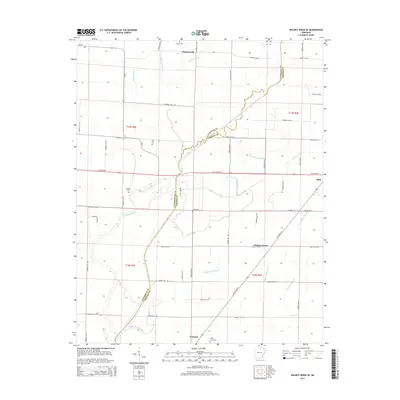
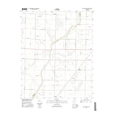
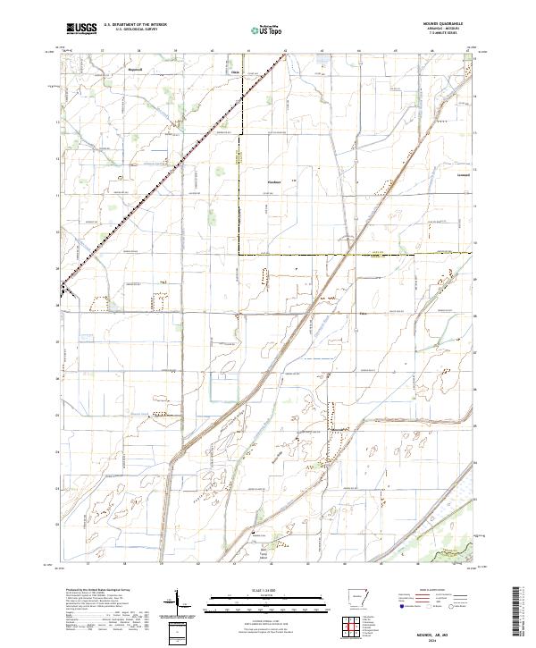
1984 Mounds
Greene County, AR
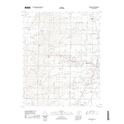
1984 Paragould West
Greene County, AR
2011 Mounds
Greene County, AR
2011 Paragould East
Greene County, AR
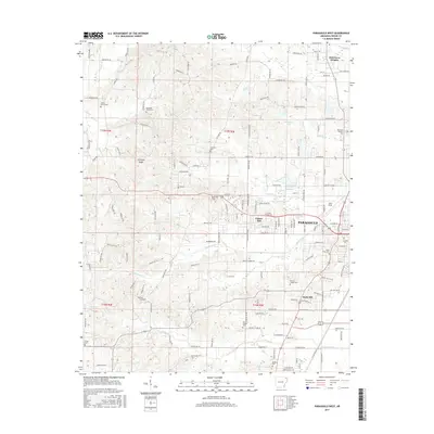
2011 Paragould West
Greene County, AR
2011 Walnut Ridge SE
Greene County, AR
2014 Mounds
Greene County, AR
2014 Paragould East
Greene County, AR
2014 Paragould West
Greene County, AR
2014 Walnut Ridge SE
Greene County, AR
2017 Mounds
Greene County, AR
2017 Paragould East
Greene County, AR
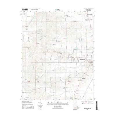
2017 Paragould West
Greene County, AR
2017 Walnut Ridge SE
Greene County, AR
2020 Mounds
Greene County, AR
2020 Paragould East
Greene County, AR
2020 Paragould West
Greene County, AR
2020 Walnut Ridge SE
Greene County, AR
2024 Mounds
Greene County, AR
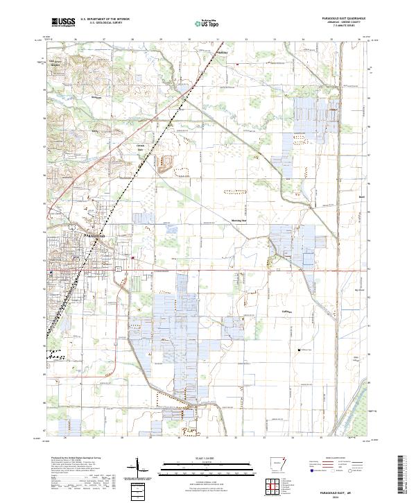
2024 Paragould East
Greene County, AR
2024 Paragould West
Greene County, AR
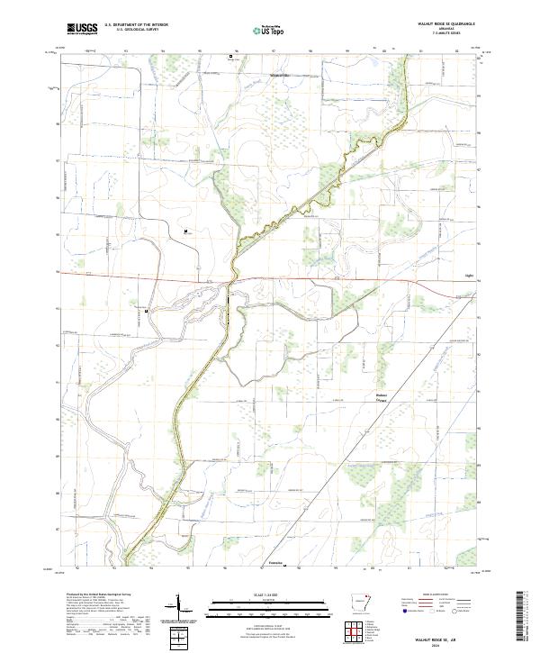
2024 Walnut Ridge SE
Greene County, AR